UN/LOCODE hub · Spain
ESZCI

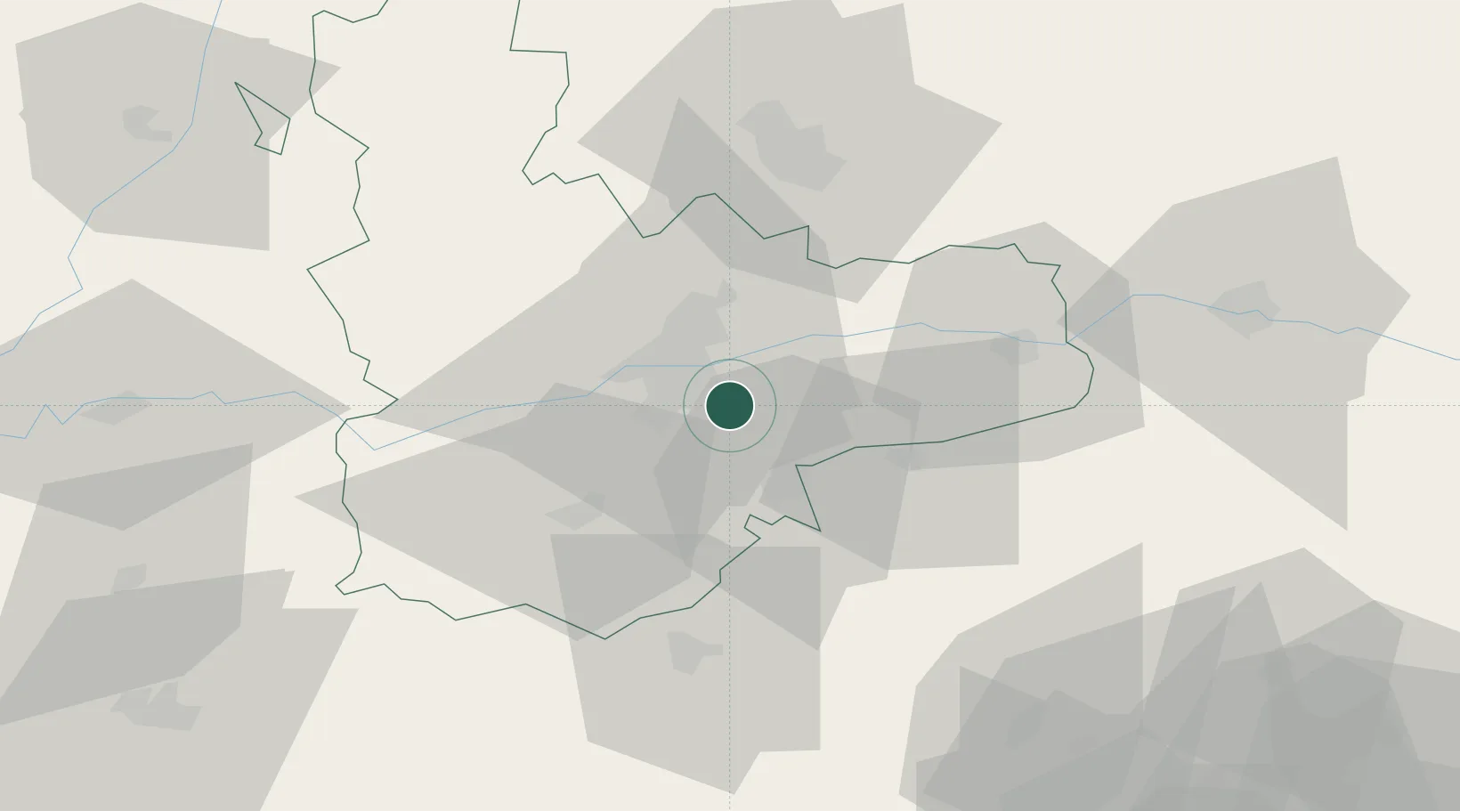
Aldeamayor de San Martin

41.5167°, -4.6333°
1,932
Population
1
Transport functions

Transport Functions

Multimodal
UN/LOCODE

Hub Profile

Place type
District seat
GeoNames
Region
Castille and León
GeoNames
Population
1,932
GeoNames
Time zone
Europe/Madrid
GeoNames
Elevation
708 m
GeoNames

Location

Location of ESZCI
Natural Earth 10m (public domain) · Castille and León · ESZCI · 41.52, -4.63GoogleOSMYandex

Nearby Logistics Neighbours

Cities
  1. 1Boecillo6 km
  2. 2Laguna de Duero10 km
  3. 3Villabáñez16 km
  4. 4San Miguel Del Arroyo18 km
  5. 5Sardón de Duero19 km
Nearest neighbours — logibook spatial index (haversine) over the source coordinates
Ports
  1. 1Santander228 km
  2. 2Gijon241 km
  3. 3Puerto De Bilbao242 km
  4. 4Aviles255 km
  5. 5Bermeo263 km
Nearest neighbours — logibook spatial index (haversine) over the source coordinates
Airports
  1. 1Valladolid Airport28 km
  2. 2Salamanca Airport96 km
  3. 3Burgos Airport126 km
  4. 4Adolfo Suárez Madrid–Barajas Airport145 km
  5. 5Madrid-Cuatro Vientos Airport146 km
Nearest neighbours — logibook spatial index (haversine) over the source coordinates
Trade Zones
  1. 1Depósito Franco de Villafría (Burgos)121 km
  2. 2Depósito Franco de Madrid-Aeropuerto148 km
  3. 3Zona Franca de Santander226 km
  4. 4Depósito Franco de Bilbao241 km
  5. 5Depósito Franco de Gijón244 km
Nearest neighbours — logibook spatial index (haversine) over the source coordinates
DatabookThe Record of Consolidated Knowledge
Spain beyond logistics?
Browse databook

All Sources

LocationsUN/LOCODE
UN/LOCODE — free
LocationsGeoNames
CC BY 4.0
Portsthe NGA World Port Index
Public domain (US gov)
AirportsOurAirports
Public domain
Trade Zonesthe World Bank SEZ database
CC BY 4.0
Trade ZonesOpen Zone Map
CC BY
← Spain locations