Transport Functions
Rail
Road
Hub Profile
Place type
Populated place
Region
Basque Country
Time zone
Europe/Madrid
Elevation
559 m
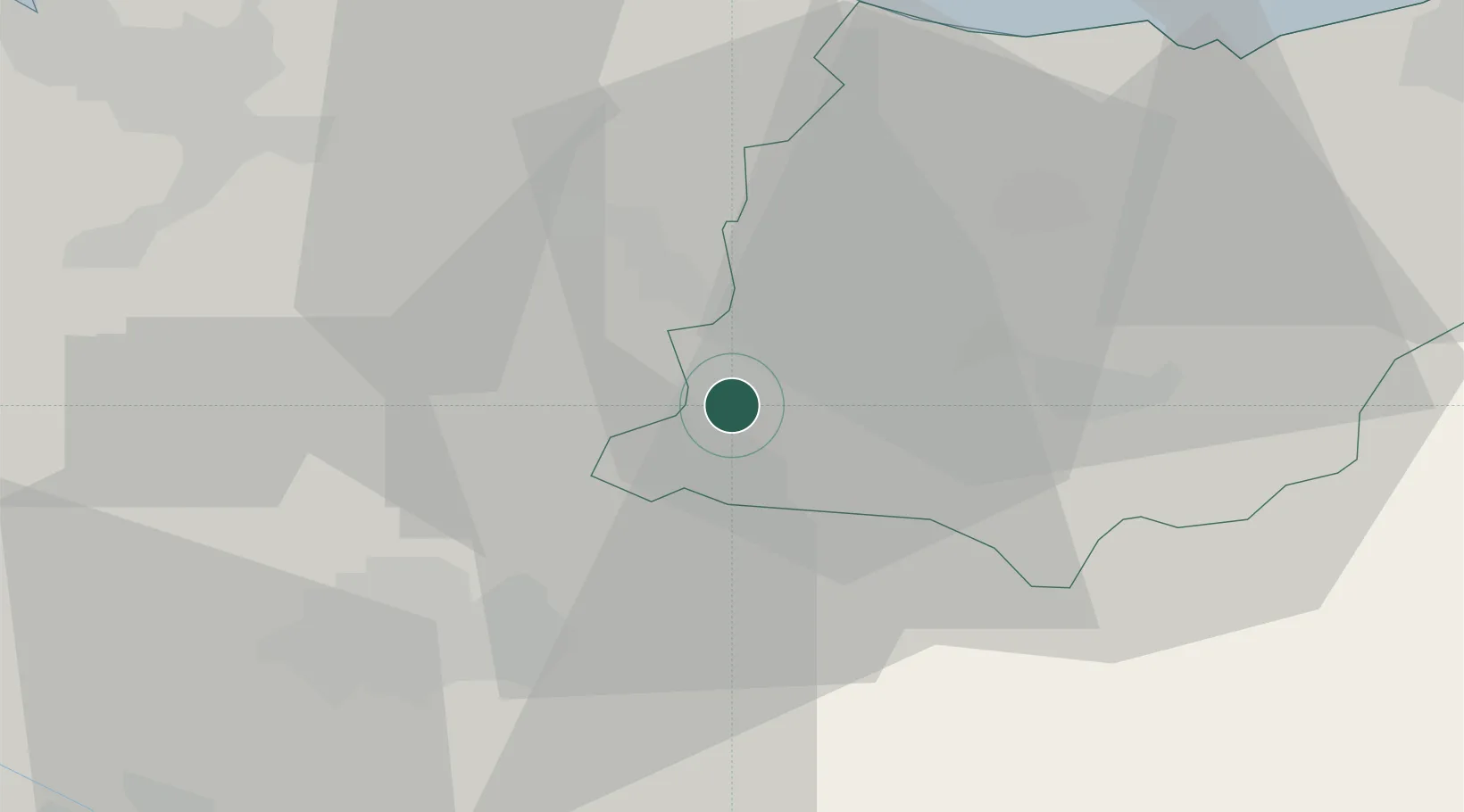
Location
Nearby Logistics Neighbours
Cities
- 1Escoriaza2 km
- 2Oñati8 km
- 3Elgeta11 km
- 4Villarreal de Álava12 km
- 5Ochandiano12 km
Ports
- 1Bermeo46 km
- 2Puerto De Pasajes57 km
- 3Puerto De Bilbao57 km
- 4Bayonne99 km
- 5Santander115 km
Airports
- 1Vitoria Airport25 km
- 2Bilbao Airport45 km
- 3Logroño-Agoncillo Airport65 km
- 4San Sebastián Airport68 km
- 5Pamplona Airport75 km
Trade Zones
DatabookThe Record of Consolidated Knowledge
Spain beyond logistics?