Transport Functions
Road
Multimodal
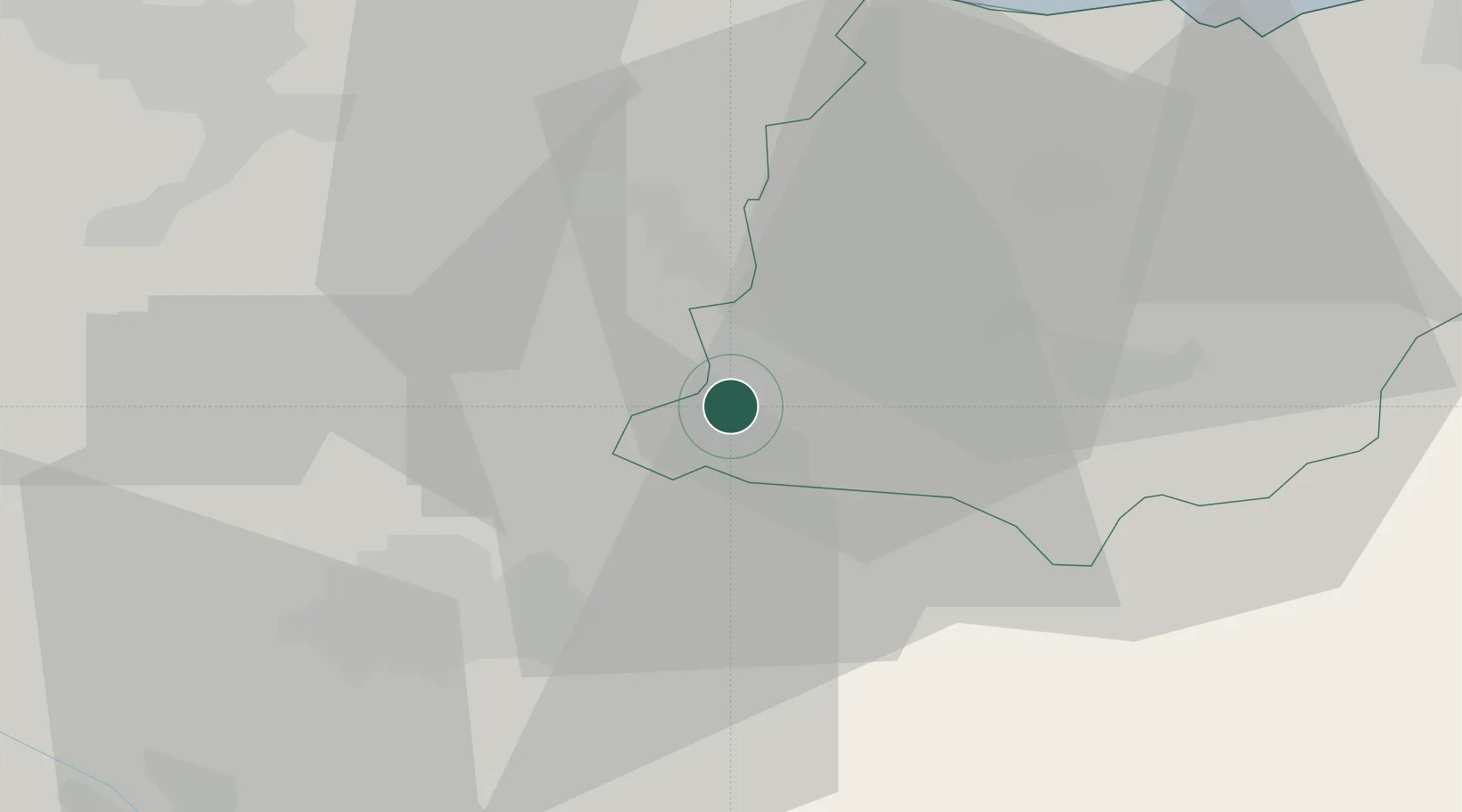
Location
Nearby Logistics Neighbours
Cities
- 1Arechavaleta2 km
- 2Oñati10 km
- 3Villarreal de Álava10 km
- 4Ochandiano11 km
- 5Otxandio11 km
Ports
- 1Bermeo47 km
- 2Puerto De Bilbao57 km
- 3Puerto De Pasajes59 km
- 4Bayonne101 km
- 5Santander114 km
Airports
- 1Vitoria Airport23 km
- 2Bilbao Airport45 km
- 3Logroño-Agoncillo Airport64 km
- 4San Sebastián Airport70 km
- 5Pamplona Airport76 km
Trade Zones
DatabookThe Record of Consolidated Knowledge
Spain beyond logistics?