Transport Functions
Port
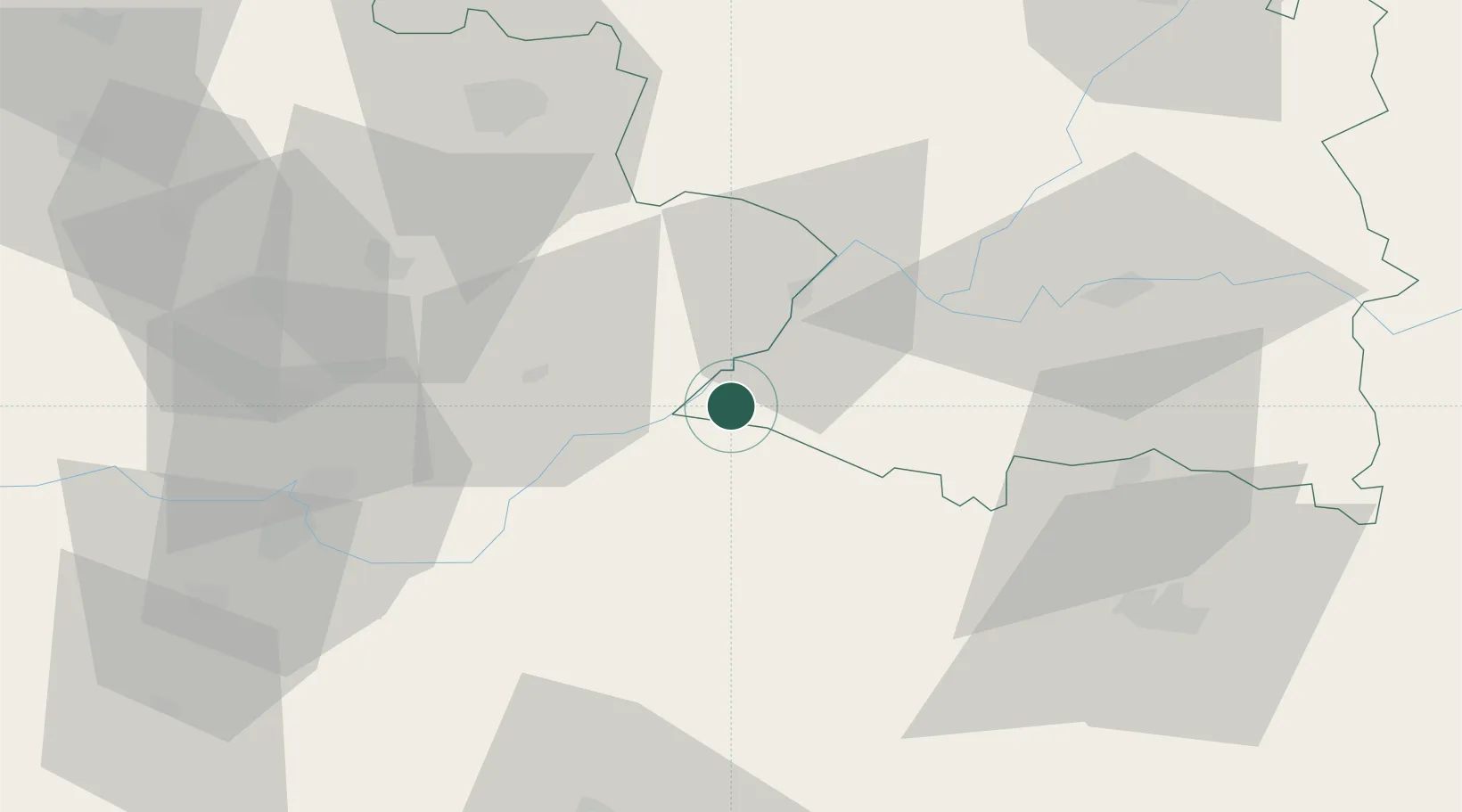
Hub Profile
Place type
District seat
Region
Castille and León
Population
1,538
Time zone
Europe/Madrid
Elevation
701 m
Location
Nearby Logistics Neighbours
Cities
- 1Bermiyo Sallago24 km
- 2Barruecopardo37 km
- 3Anover De Tormes44 km
- 4Villaflor45 km
- 5Rabanales47 km
Ports
- 1Oporto192 km
- 2Porto De Leixoes194 km
- 3Aveiro204 km
- 4Viana Do Castelo208 km
- 5Vigo219 km
Airports
- 1Bragança Airport66 km
- 2Salamanca Airport84 km
- 3Vila Real Airport112 km
- 4Valladolid Airport135 km
- 5Aerodromo Goncalves Lobato (Viseu Airport)142 km
Trade Zones
DatabookThe Record of Consolidated Knowledge
Spain beyond logistics?