Transport Functions
Road
Multimodal
Hub Profile
Place type
District seat
Region
Castille and León
Population
519
Time zone
Europe/Madrid
Elevation
710 m
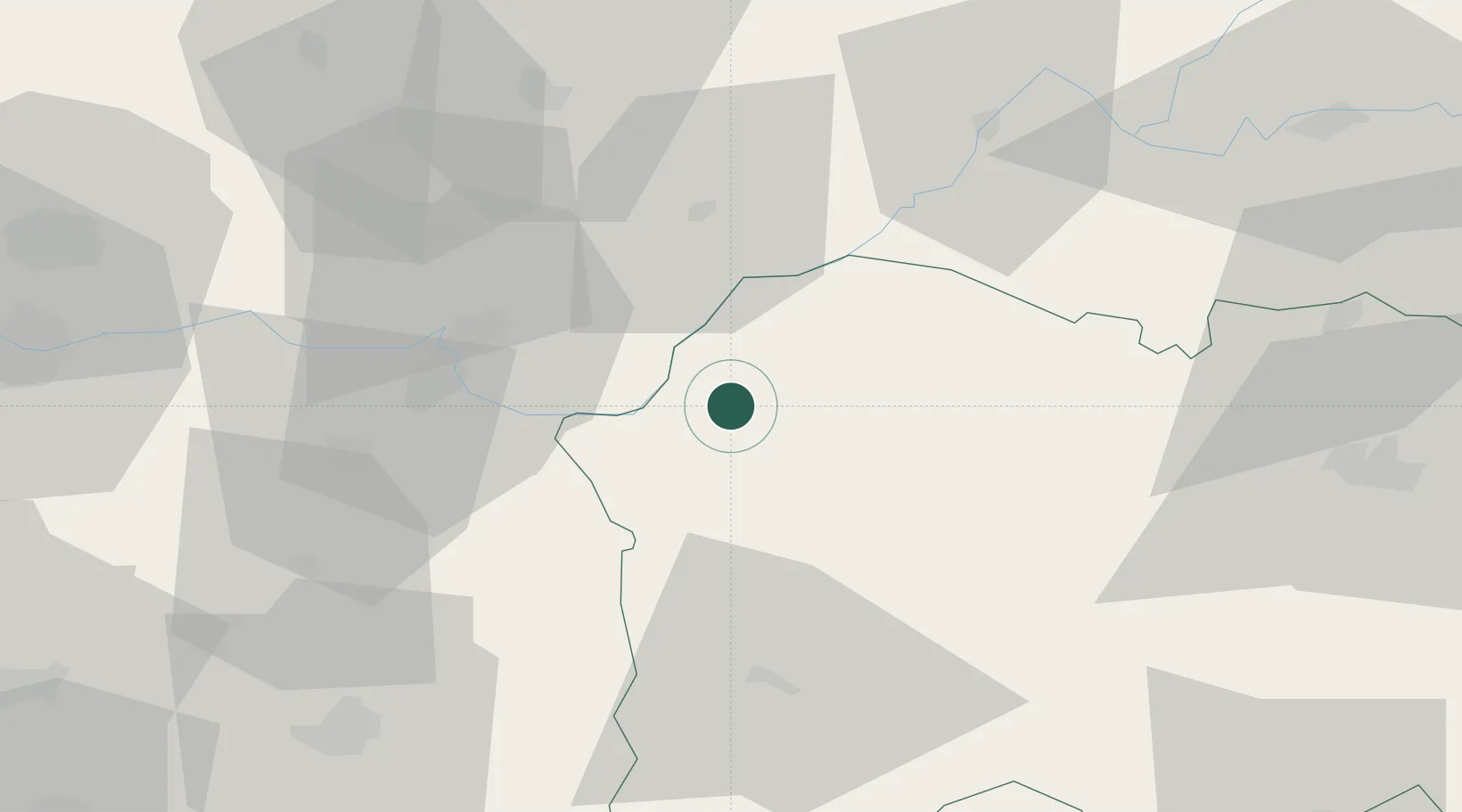
Location
Nearby Logistics Neighbours
Cities
- 1La Fregeneda19 km
- 2Almendra33 km
- 3Torre de Moncorvo34 km
- 4Fermoselle37 km
- 5Aldea del Obispo42 km
Ports
- 1Oporto168 km
- 2Porto De Leixoes171 km
- 3Aveiro173 km
- 4Viana Do Castelo194 km
- 5Figueira Da Foz211 km
Airports
- 1Bragança Airport88 km
- 2Vila Real Airport91 km
- 3Salamanca Airport99 km
- 4Aerodromo Goncalves Lobato (Viseu Airport)110 km
- 5Aerodromo de Castelo Branco151 km
Trade Zones
DatabookThe Record of Consolidated Knowledge
Spain beyond logistics?