Transport Functions
Multimodal
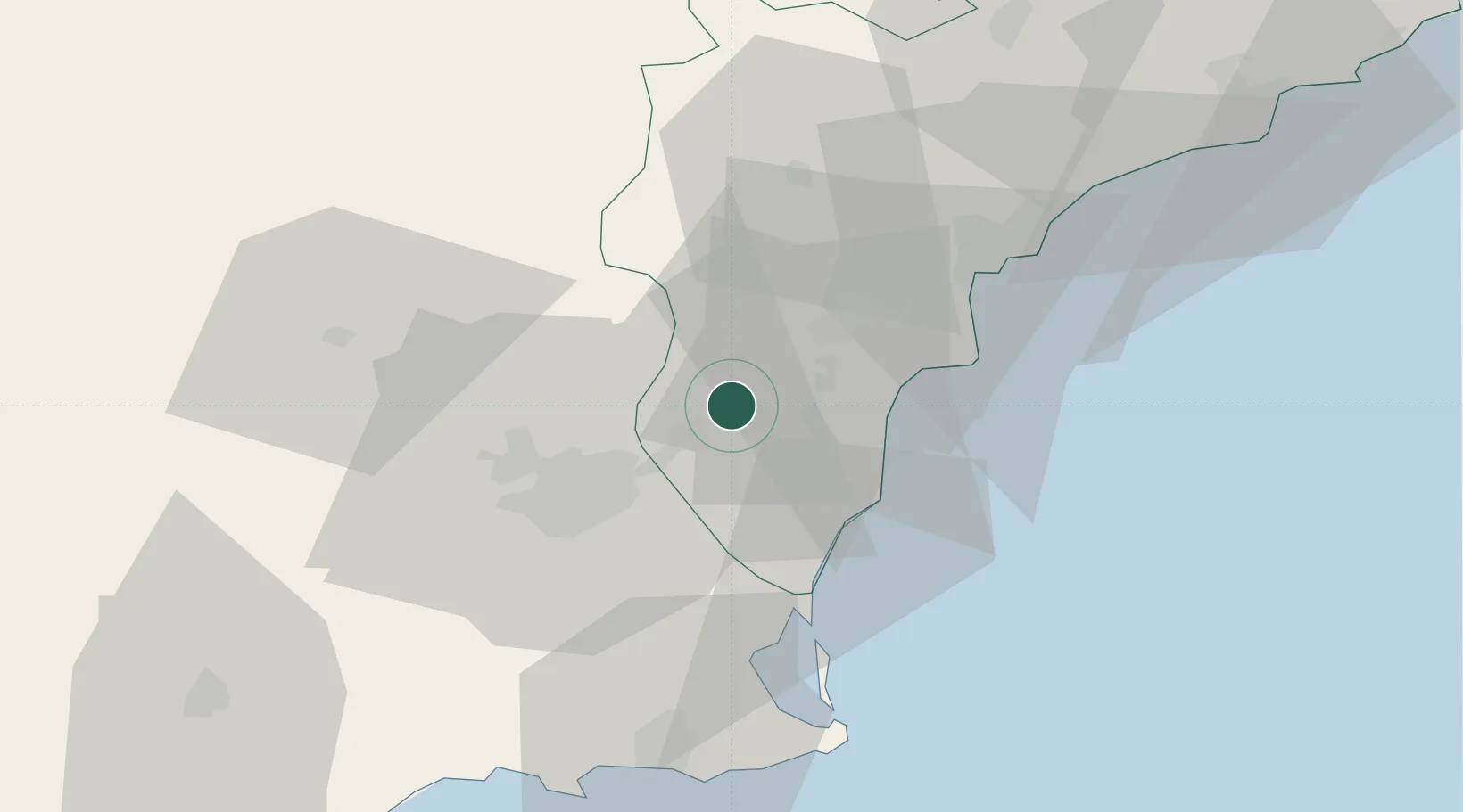
Hub Profile
Place type
District seat
Region
Valencia
Population
6,411
Time zone
Europe/Madrid
Elevation
22 m
Location
Nearby Logistics Neighbours
Cities
- 1Santa Agueda10 km
- 2Formentera de Segura13 km
- 3Montesinos26 km
- 4Cabo Roig27 km
- 5Campoamor29 km
Ports
- 1Torrevieja26 km
- 2Alicante41 km
- 3Cartagena62 km
- 4Aguilas101 km
- 5Puerto De Gandia116 km
Airports
Trade Zones
DatabookThe Record of Consolidated Knowledge
Spain beyond logistics?