Transport Functions
Multimodal
Hub Profile
Place type
District seat
Region
Extremadura
Population
484
Time zone
Europe/Madrid
Elevation
638 m
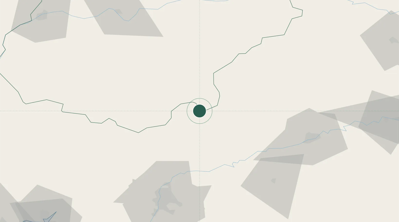
Location
Nearby Logistics Neighbours
Cities
- 1Valverde de Llerena16 km
- 2Azuaga17 km
- 3Fuente del Arco19 km
- 4Berlanga22 km
- 5Granja de Torrehermosa24 km
Ports
- 1Sevilla88 km
- 2Huelva147 km
- 3Rota176 km
- 4Vila Real De S Antonio183 km
- 5Cadiz184 km
Airports
- 1Córdoba Airport79 km
- 2Seville Airport80 km
- 3Madroñalejos Forest Fire fighting Heliport84 km
- 4Moron Air Base105 km
- 5Badajoz Airport131 km
Trade Zones
- 1Zona Franca de Sevilla91 km
- 2Puerto de Huelva147 km
- 3Depósito Franco de Málaga157 km
- 4Zona Franca de Cádiz187 km
- 5Depósito Franco de Algeciras223 km
DatabookThe Record of Consolidated Knowledge
Spain beyond logistics?