Transport Functions
Rail
Road
Hub Profile
Place type
Urban district
Region
Basque Country
Time zone
Europe/Madrid
Elevation
352 m
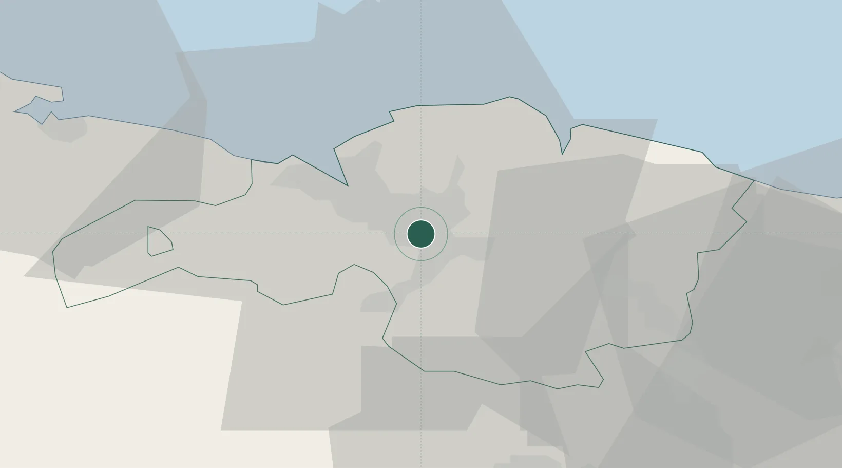
Location
Nearby Logistics Neighbours
Cities
- 1Lezama5 km
- 2Alonsotegui7 km
- 3Erandio7 km
- 4Santurce7 km
- 5Usansolo8 km
Ports
- 1Puerto De Bilbao17 km
- 2Bermeo24 km
- 3Santander75 km
- 4Puerto De Pasajes79 km
- 5Bayonne119 km
Airports
- 1Bilbao Airport6 km
- 2Vitoria Airport43 km
- 3Seve Ballesteros-Santander Airport77 km
- 4San Sebastián Airport91 km
- 5Logroño-Agoncillo Airport100 km
Trade Zones
DatabookThe Record of Consolidated Knowledge
Spain beyond logistics?