Transport Functions
Road
Multimodal
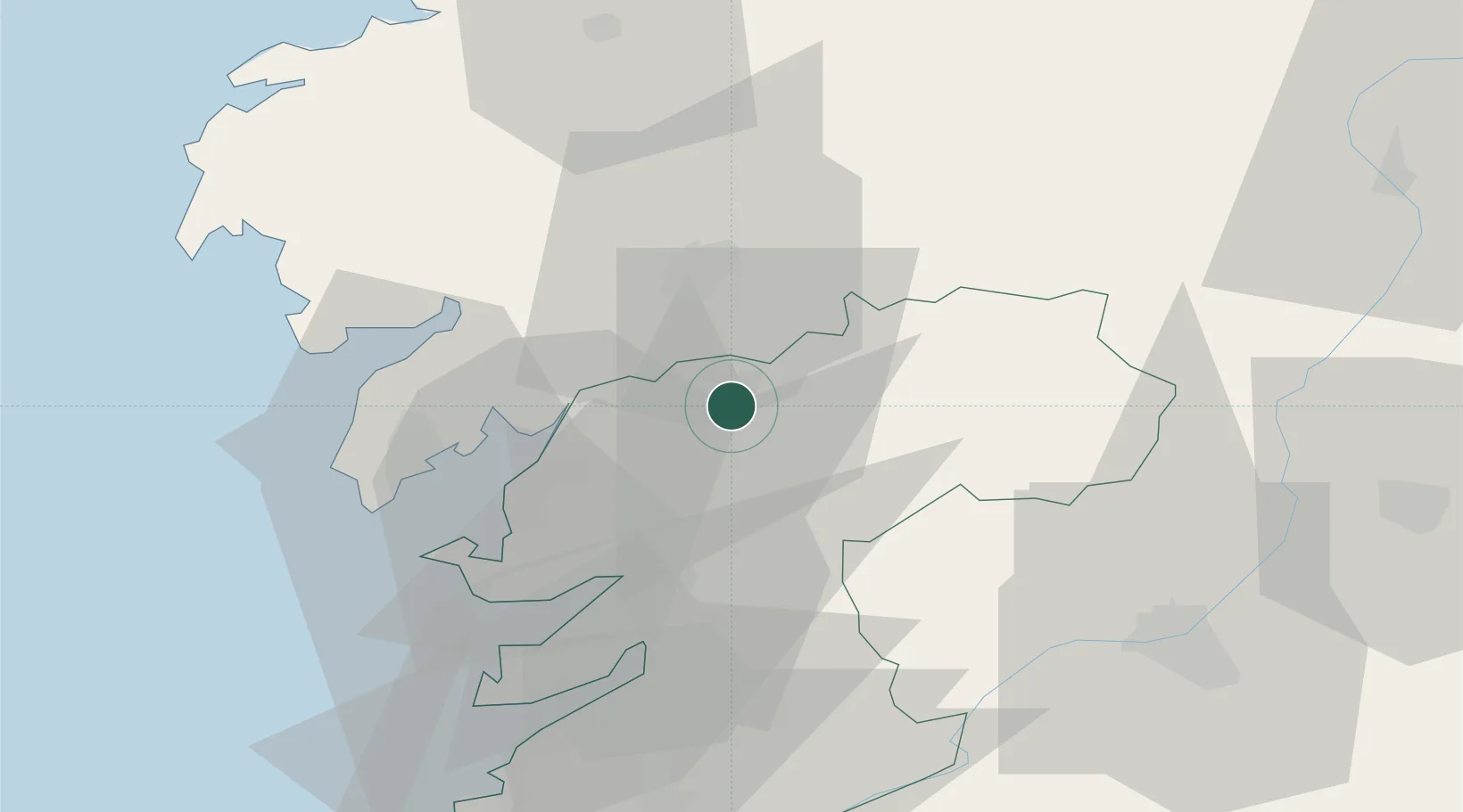
Location
Nearby Logistics Neighbours
Ports
- 1Villagarcia De Arosa24 km
- 2Marin36 km
- 3Vigo53 km
- 4La Coruna76 km
- 5Ferrol92 km
Airports
- 1Santiago-Rosalía de Castro Airport25 km
- 2Vigo Airport51 km
- 3A Coruña Airport70 km
- 4Braga Municipal Aerodrome122 km
- 5Vilar de Luz Airfield156 km
Trade Zones
DatabookThe Record of Consolidated Knowledge
Spain beyond logistics?