Transport Functions
Road
Multimodal
Hub Profile
Place type
District seat
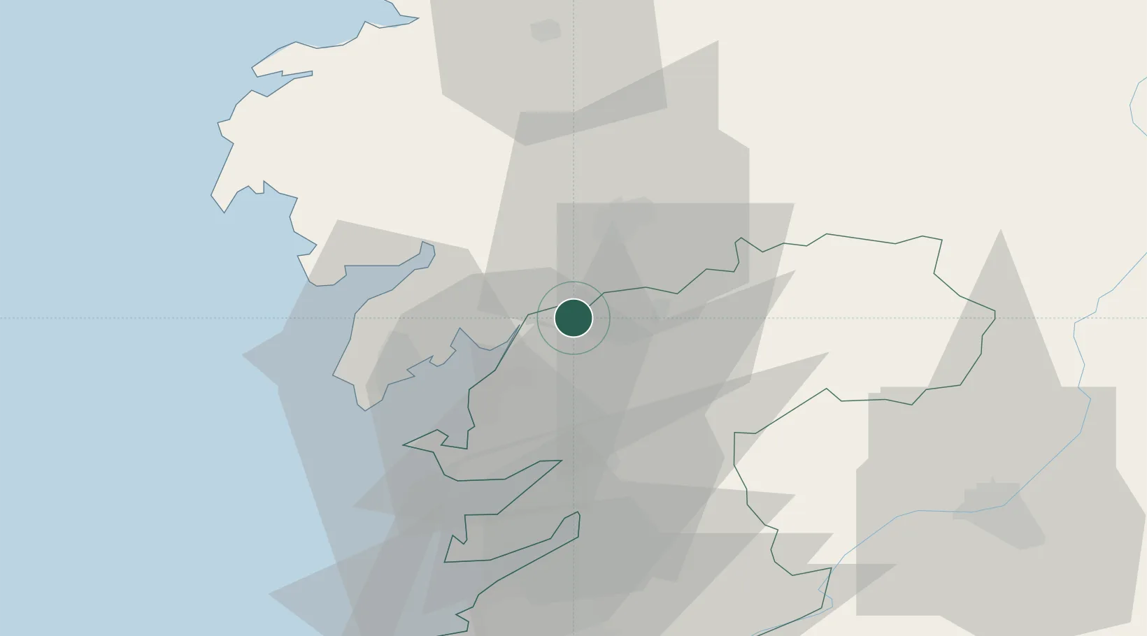
Region
Galicia
Population
6,143
Time zone
Europe/Madrid
Elevation
75 m
Location
Nearby Logistics Neighbours
Cities
- 1Padrón5 km
- 2Catoira8 km
- 3La Estrada11 km
- 4Teo12 km
- 5Vedra17 km
Ports
- 1Villagarcia De Arosa16 km
- 2Marin34 km
- 3Vigo52 km
- 4La Coruna77 km
- 5Ferrol93 km
Airports
- 1Santiago-Rosalía de Castro Airport28 km
- 2Vigo Airport52 km
- 3A Coruña Airport70 km
- 4Braga Municipal Aerodrome125 km
- 5Vilar de Luz Airfield159 km
Trade Zones
DatabookThe Record of Consolidated Knowledge
Spain beyond logistics?