Transport Functions
Road
Multimodal
Hub Profile
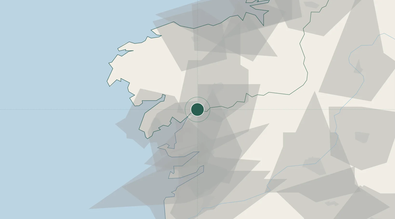
Place type
District seat
Region
Galicia
Population
9,039
Time zone
Europe/Madrid
Elevation
13 m
Location
Nearby Logistics Neighbours
Cities
- 1Valga5 km
- 2Catoira9 km
- 3Teo14 km
- 4La Estrada15 km
- 5Vedra17 km
Ports
- 1Villagarcia De Arosa17 km
- 2Marin37 km
- 3Vigo56 km
- 4La Coruna74 km
- 5Ferrol91 km
Airports
- 1Santiago-Rosalía de Castro Airport27 km
- 2Vigo Airport56 km
- 3A Coruña Airport68 km
- 4Braga Municipal Aerodrome129 km
- 5Vilar de Luz Airfield162 km
Trade Zones
DatabookThe Record of Consolidated Knowledge
Spain beyond logistics?