UN/LOCODE hub · Spain
ESCFL

Casillas Flores

40.3833°, -6.7500°
1
Transport functions

Transport Functions

Port
UN/LOCODE

Hub Profile

Region
SA
GeoNames

Location

Location of ESCFL
Natural Earth 10m (public domain) · SA · ESCFL · 40.38, -6.75GoogleOSMYandex

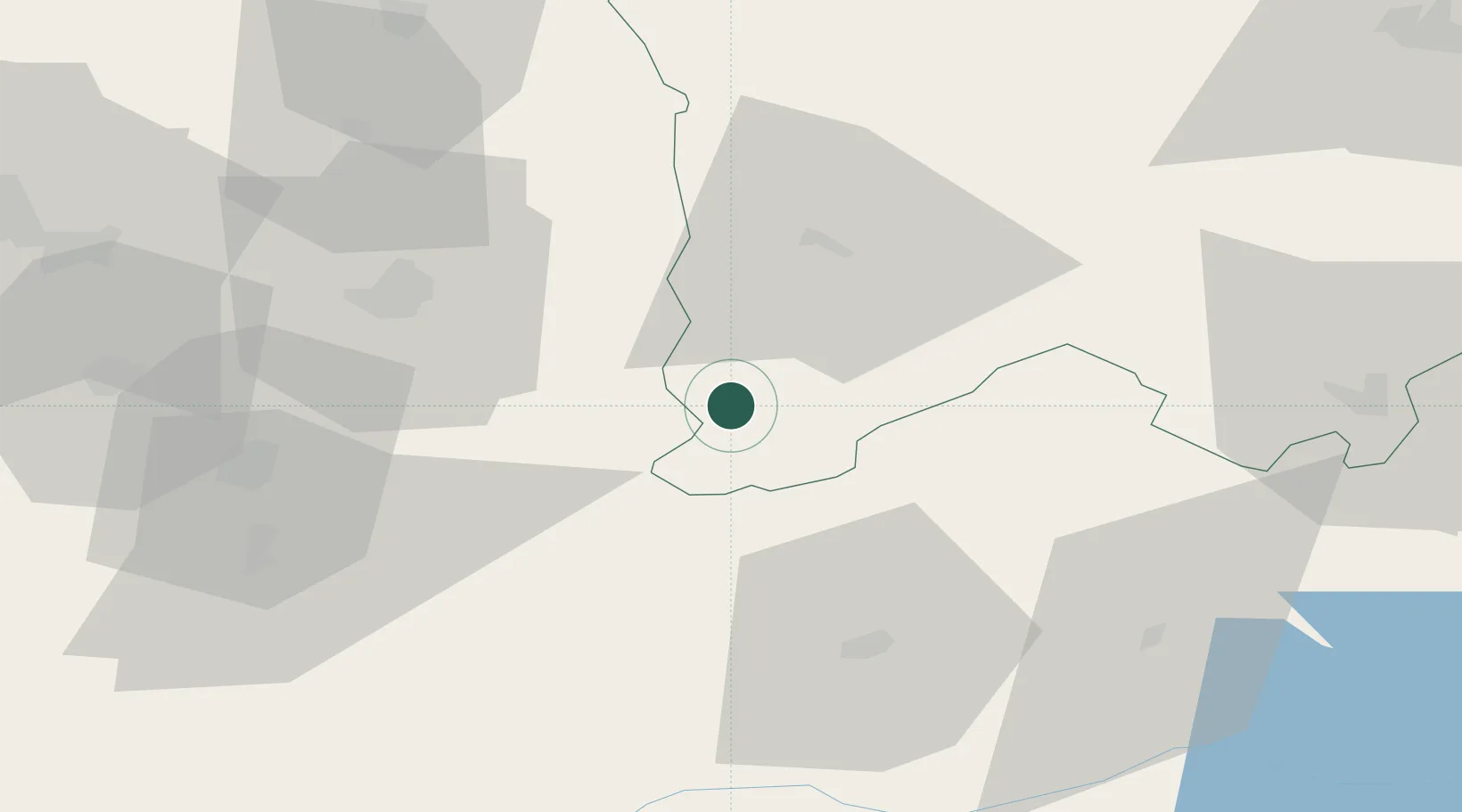
Nearby Logistics Neighbours

Cities
  1. 1Fuentes de Oñoro23 km
  2. 2Aldea del Obispo35 km
  3. 3Sabugal44 km
  4. 4Guarda47 km
  5. 5Montehermoso49 km
Nearest neighbours — logibook spatial index (haversine) over the source coordinates
Ports
  1. 1Aveiro163 km
  2. 2Figueira Da Foz180 km
  3. 3Oporto183 km
  4. 4Porto De Leixoes187 km
  5. 5Viana Do Castelo228 km
Nearest neighbours — logibook spatial index (haversine) over the source coordinates
Airports
  1. 1Aerodromo de Castelo Branco84 km
  2. 2Aerodromo Goncalves Lobato (Viseu Airport)104 km
  3. 3Salamanca Airport123 km
  4. 4Vila Real Airport128 km
  5. 5Aerodromo Municipal de Coimbra148 km
Nearest neighbours — logibook spatial index (haversine) over the source coordinates
Trade Zones
  1. 1VGP Park Santa Maria da Feira165 km
  2. 2Zona Livre Tecnológica Masotinhos185 km
  3. 3Zona Franca de Vigo265 km
  4. 4Depósito Franco de Madrid-Aeropuerto268 km
  5. 5Depósito Franco de Villafría (Burgos)336 km
Nearest neighbours — logibook spatial index (haversine) over the source coordinates
DatabookThe Record of Consolidated Knowledge
Spain beyond logistics?
Browse databook

All Sources

LocationsUN/LOCODE
UN/LOCODE — free
Portsthe NGA World Port Index
Public domain (US gov)
AirportsOurAirports
Public domain
Trade Zonesthe World Bank SEZ database
CC BY 4.0
Trade ZonesOpen Zone Map
CC BY
← Spain locations