Transport Functions
Rail
Road
Hub Profile
Place type
Regional capital
Region
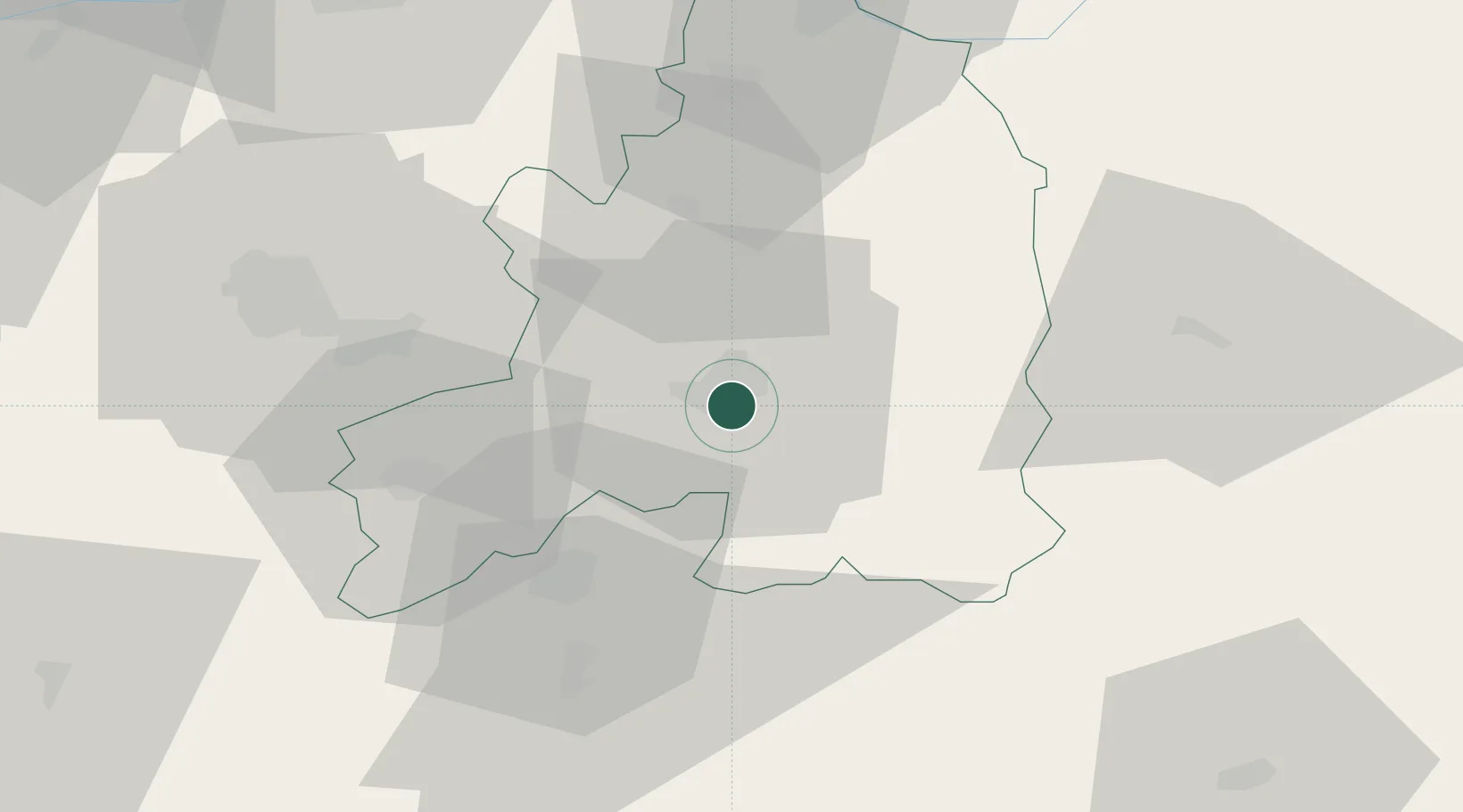
Guarda
Population
40,126
Time zone
Europe/Lisbon
Elevation
1,008 m
Location
Nearby Logistics Neighbours
Cities
- 1Sabugal3 km
- 2Celorico da Beira15 km
- 3Vila Ruiva21 km
- 4Fornos de Algodres24 km
- 5Covilhã34 km
Ports
- 1Aveiro118 km
- 2Oporto136 km
- 3Porto De Leixoes141 km
- 4Figueira Da Foz141 km
- 5Viana Do Castelo185 km
Airports
Trade Zones
DatabookThe Record of Consolidated Knowledge
Portugal beyond logistics?