Transport Functions
Rail
Road
Hub Profile
Place type
District seat
Region
Castille and León
Population
1,538
Time zone
Europe/Madrid
Elevation
738 m
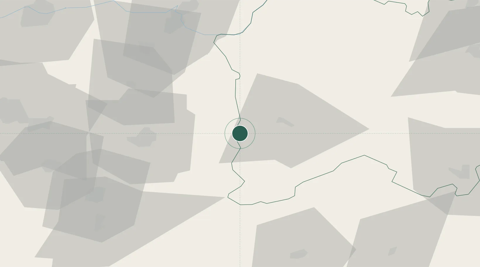
Location
Nearby Logistics Neighbours
Cities
- 1Aldea del Obispo13 km
- 2Casillas Flores23 km
- 3Sabugal36 km
- 4Guarda38 km
- 5La Fregeneda45 km
Ports
- 1Aveiro155 km
- 2Oporto168 km
- 3Porto De Leixoes172 km
- 4Figueira Da Foz179 km
- 5Viana Do Castelo210 km
Airports
- 1Aerodromo Goncalves Lobato (Viseu Airport)92 km
- 2Aerodromo de Castelo Branco98 km
- 3Vila Real Airport108 km
- 4Salamanca Airport118 km
- 5Bragança Airport142 km
Trade Zones
DatabookThe Record of Consolidated Knowledge
Spain beyond logistics?