Transport Functions
Road
Multimodal
Hub Profile
Place type
District seat
Region
Extremadura
Population
5,693
Time zone
Europe/Madrid
Elevation
399 m
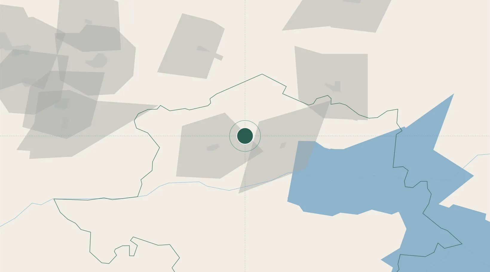
Location
Nearby Logistics Neighbours
Cities
- 1Casillas Flores49 km
- 2Banos de Montemayor49 km
- 3Santiago del Campo50 km
- 4Mogarraz51 km
- 5Casar de Cáceres58 km
Ports
- 1Aveiro206 km
- 2Figueira Da Foz214 km
- 3Oporto230 km
- 4Porto De Leixoes234 km
- 5Viana Do Castelo277 km
Airports
- 1Aerodromo de Castelo Branco98 km
- 2Salamanca Airport120 km
- 3Badajoz Airport139 km
- 4Aerodromo Goncalves Lobato (Viseu Airport)150 km
- 5Aeródromo Municipal de Ponte de Sor177 km
Trade Zones
- 1VGP Park Santa Maria da Feira211 km
- 2Zona Livre Tecnológica Masotinhos232 km
- 3Depósito Franco de Madrid-Aeropuerto237 km
- 4Zona Franca de Sevilla307 km
- 5Zona Franca de Vigo313 km
DatabookThe Record of Consolidated Knowledge
Spain beyond logistics?