Transport Functions
Road
Multimodal
Hub Profile
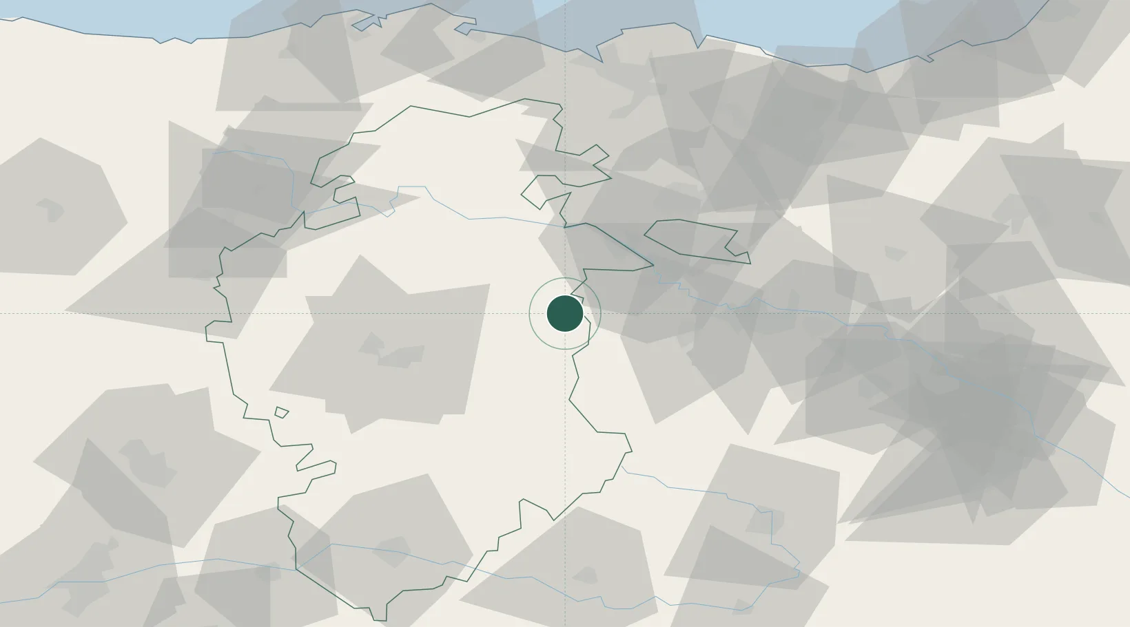
Place type
District seat
Region
Castille and León
Time zone
Europe/Madrid
Elevation
661 m
Location
Nearby Logistics Neighbours
Cities
- 1Tormantos6 km
- 2Belorado9 km
- 3Cuzcurrita del Rio Tirón16 km
- 4Santo Domingo de la Calzada16 km
- 5Pancorbo17 km
Ports
- 1Puerto De Bilbao97 km
- 2Bermeo109 km
- 3Santander122 km
- 4Puerto De Pasajes136 km
- 5Bayonne177 km
Airports
- 1Burgos Airport42 km
- 2Vitoria Airport56 km
- 3Logroño-Agoncillo Airport67 km
- 4Bilbao Airport93 km
- 5Seve Ballesteros-Santander Airport119 km
Trade Zones
DatabookThe Record of Consolidated Knowledge
Spain beyond logistics?