UN/LOCODE hub · Spain
ESDGC

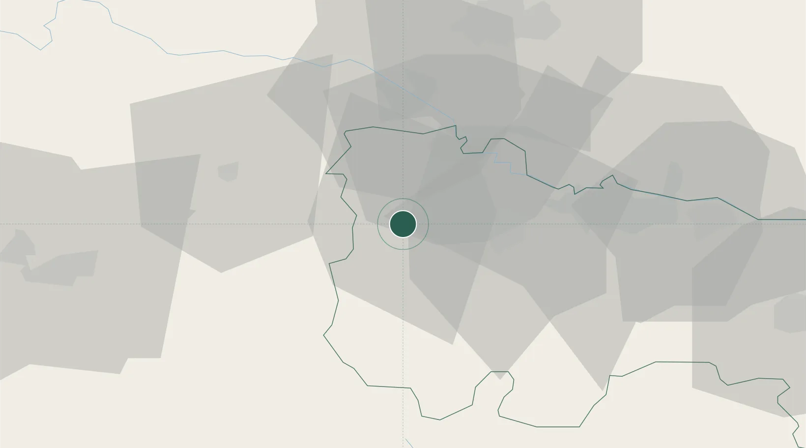
Santo Domingo de la Calzada

42.4333°, -2.9500°
6,223
Population
2
Transport functions

Transport Functions

Rail
Road
UN/LOCODE

Hub Profile

Place type
District seat
GeoNames
Region
La Rioja
GeoNames
Population
6,223
GeoNames
Time zone
Europe/Madrid
GeoNames
Elevation
646 m
GeoNames

Location

Location of ESDGC
Natural Earth 10m (public domain) · La Rioja · ESDGC · 42.43, -2.95GoogleOSMYandex

Nearby Logistics Neighbours

Cities
  1. 1Tormantos12 km
  2. 2Cordovin12 km
  3. 3Cuzcurrita del Rio Tirón13 km
  4. 4Casalarreina13 km
  5. 5Ezcaray14 km
Nearest neighbours — logibook spatial index (haversine) over the source coordinates
Ports
  1. 1Puerto De Bilbao102 km
  2. 2Bermeo111 km
  3. 3Puerto De Pasajes130 km
  4. 4Santander133 km
  5. 5Bayonne169 km
Nearest neighbours — logibook spatial index (haversine) over the source coordinates
Airports
  1. 1Logroño-Agoncillo Airport52 km
  2. 2Vitoria Airport53 km
  3. 3Burgos Airport56 km
  4. 4Bilbao Airport97 km
  5. 5Pamplona Airport113 km
Nearest neighbours — logibook spatial index (haversine) over the source coordinates
Trade Zones
  1. 1Depósito Franco de Villafría (Burgos)64 km
  2. 2Depósito Franco de Bilbao101 km
  3. 3Depósito Franco de Pasajes (Guipúzcoa)130 km
  4. 4Zona Franca de Santander133 km
  5. 5Depósito Franco de Zaragoza200 km
Nearest neighbours — logibook spatial index (haversine) over the source coordinates
DatabookThe Record of Consolidated Knowledge
Spain beyond logistics?
Browse databook

All Sources

LocationsUN/LOCODE
UN/LOCODE — free
LocationsGeoNames
CC BY 4.0
Portsthe NGA World Port Index
Public domain (US gov)
AirportsOurAirports
Public domain
Trade Zonesthe World Bank SEZ database
CC BY 4.0
Trade ZonesOpen Zone Map
CC BY
← Spain locations