Transport Functions
Multimodal
Hub Profile
Place type
District seat
Region
Castille and León
Population
2,104
Time zone
Europe/Madrid
Elevation
770 m
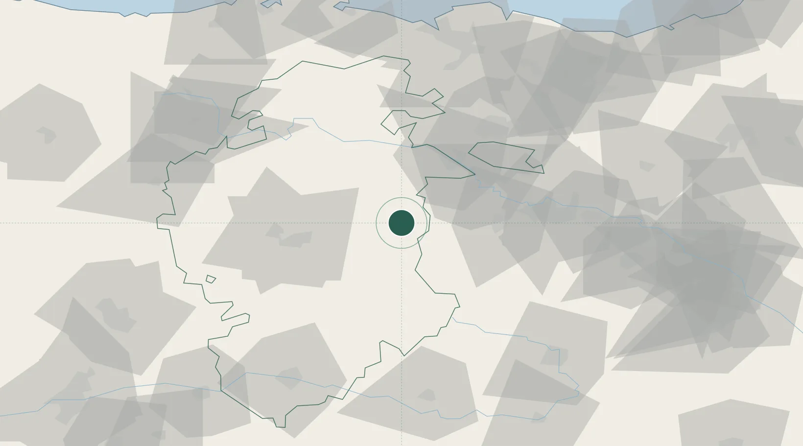
Location
Nearby Logistics Neighbours
Cities
- 1Cerezo de Rio Tiron9 km
- 2Pradoluengo11 km
- 3Tormantos13 km
- 4Roses17 km
- 5Ezcaray18 km
Ports
- 1Puerto De Bilbao104 km
- 2Bermeo118 km
- 3Santander127 km
- 4Puerto De Pasajes144 km
- 5Bayonne185 km
Airports
- 1Burgos Airport37 km
- 2Vitoria Airport64 km
- 3Logroño-Agoncillo Airport71 km
- 4Bilbao Airport101 km
- 5Seve Ballesteros-Santander Airport124 km
Trade Zones
DatabookThe Record of Consolidated Knowledge
Spain beyond logistics?