Transport Functions
Multimodal
Hub Profile
Region
AV
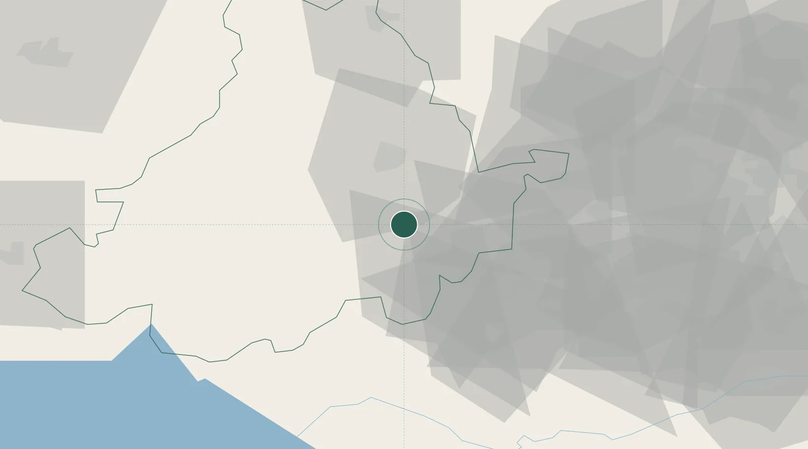
Location
Nearby Logistics Neighbours
Cities
- 1Navaluenga9 km
- 2Cebreros15 km
- 3Burgohondo15 km
- 4El Hoyo de Pinares18 km
- 5Piedralaves19 km
Ports
- 1Santander339 km
- 2Aveiro340 km
- 3Puerto De Bilbao345 km
- 4Oporto347 km
- 5Porto De Leixoes351 km
Airports
Trade Zones
DatabookThe Record of Consolidated Knowledge
Spain beyond logistics?