Transport Functions
Rail
Road
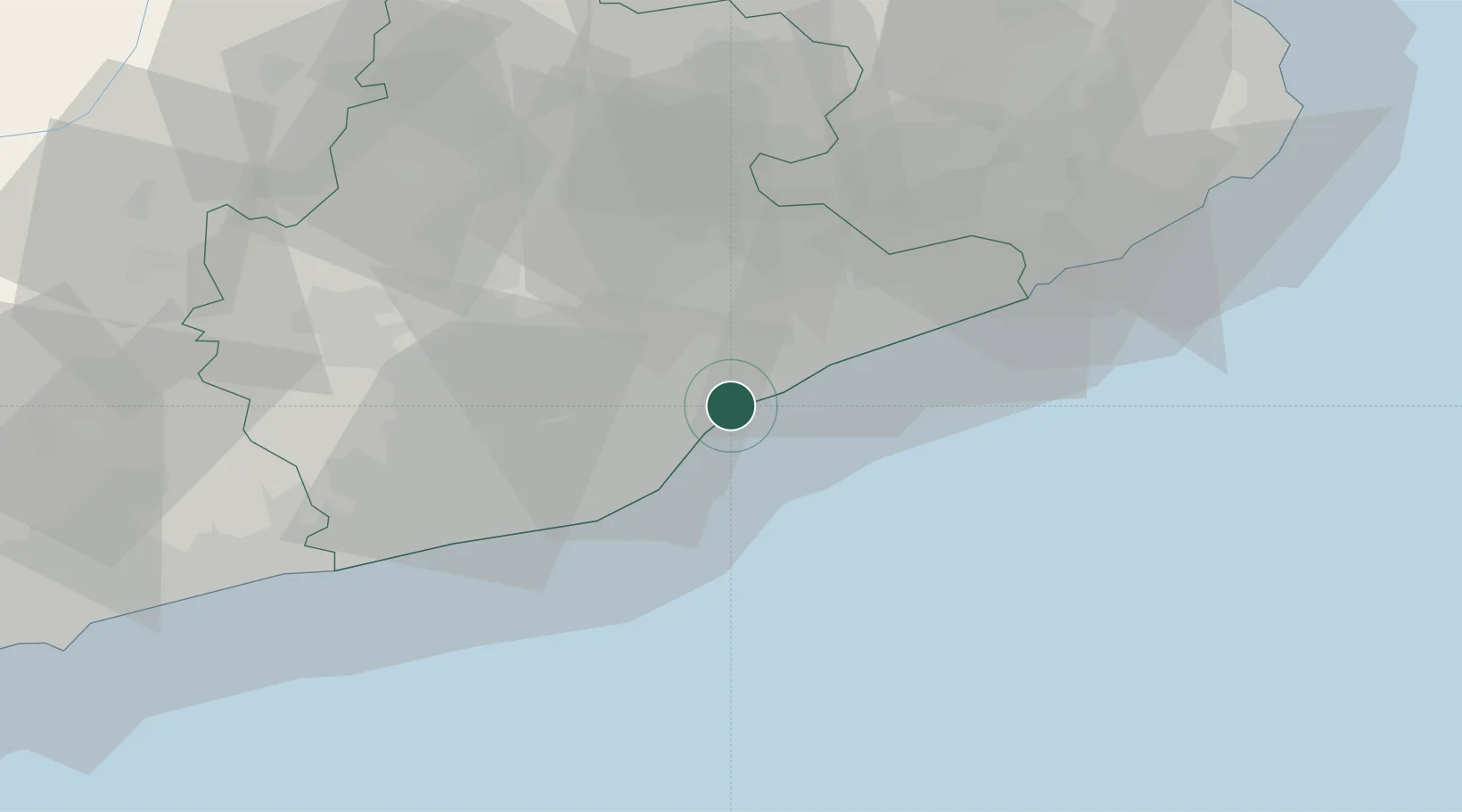
Hub Profile
Place type
District seat
Region
Catalonia
Population
10,270
Time zone
Europe/Madrid
Elevation
53 m
Location
Nearby Logistics Neighbours
Cities
- 1Masnou3 km
- 2San Adrián de Besós6 km
- 3Premia de Mar7 km
- 4Martorellas9 km
- 5Vilanova Del Vallès9 km
Ports
- 1Barcelona16 km
- 2Villanueva Y Geltru53 km
- 3San Feliu De Guixols72 km
- 4Palamos80 km
- 5Tarragona97 km
Airports
Trade Zones
- 1Zona Franca de Barcelona20 km
- 2Depósito Franco de Tarragona95 km
- 3ZFU Perpignan146 km
- 4ZFU Béziers221 km
- 5ZFU Toulouse248 km
DatabookThe Record of Consolidated Knowledge
Spain beyond logistics?