Transport Functions
Rail
Hub Profile
Region
BI
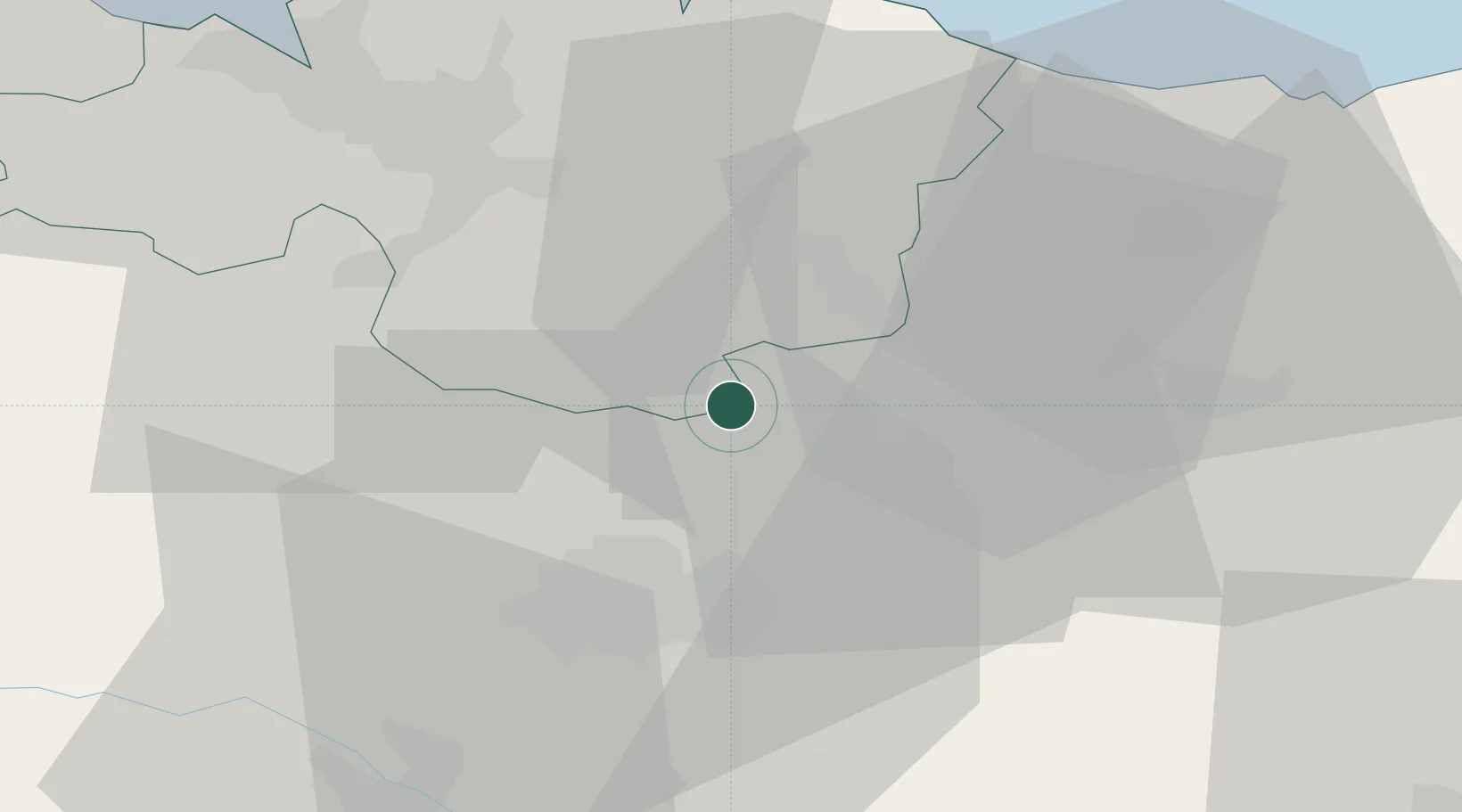
Location
Nearby Logistics Neighbours
Cities
- 1Otxandio0 km
- 2Villarreal de Álava6 km
- 3Legutiano8 km
- 4Zeanuri8 km
- 5Escoriaza11 km
Ports
- 1Bermeo43 km
- 2Puerto De Bilbao48 km
- 3Puerto De Pasajes67 km
- 4Santander104 km
- 5Bayonne109 km
Airports
- 1Vitoria Airport18 km
- 2Bilbao Airport37 km
- 3Logroño-Agoncillo Airport69 km
- 4San Sebastián Airport78 km
- 5Pamplona Airport87 km
Trade Zones
DatabookThe Record of Consolidated Knowledge
Spain beyond logistics?