Transport Functions
Port
Road
Hub Profile
Place type
Populated place
Region
Castille-La Mancha
Population
2,329
Time zone
Europe/Madrid
Elevation
704 m
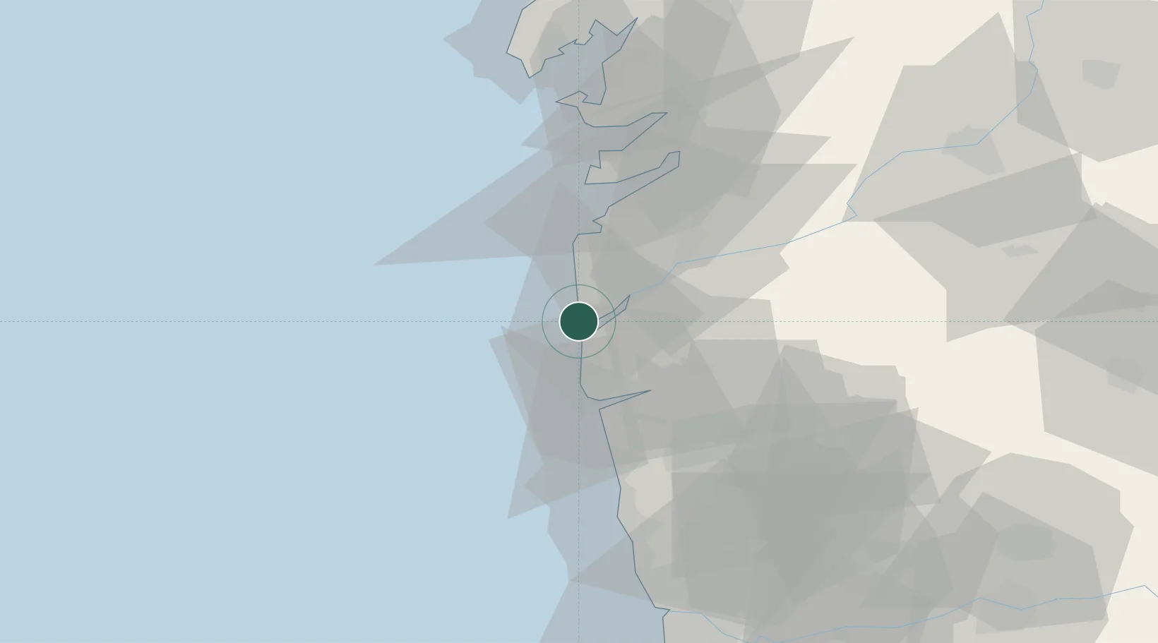
Location
Nearby Logistics Neighbours
Cities
- 1Rosal5 km
- 2Caminha6 km
- 3Vila Praia de Ancora10 km
- 4Vila Nova da Cerveira12 km
- 5Tomino16 km
Ports
- 1Viana Do Castelo23 km
- 2Vigo40 km
- 3Marin58 km
- 4Villagarcia De Arosa78 km
- 5Porto De Leixoes81 km
Airports
- 1Vigo Airport43 km
- 2Braga Municipal Aerodrome50 km
- 3Francisco de Sá Carneiro Airport74 km
- 4Vilar de Luz Airfield76 km
- 5Ovar Air Base111 km
Trade Zones
DatabookThe Record of Consolidated Knowledge
Spain beyond logistics?