Transport Functions
Port
Hub Profile
Place type
Populated place
Region
Võrumaa
Population
112
Time zone
Europe/Tallinn
Elevation
35 m
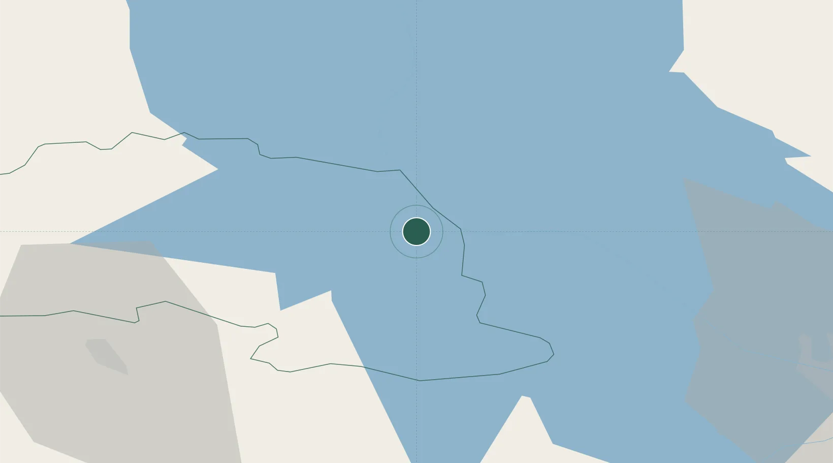
Location
Nearby Logistics Neighbours
Cities
- 1Võõpsu Külasadam2 km
- 2Räpina6 km
- 3Saarepera10 km
- 4Värska Sadam15 km
- 5Mehikoorma Sadam17 km
Ports
- 1Sillamae150 km
- 2Kunda171 km
- 3Ust Luga182 km
- 4Parnu183 km
- 5Salacgriva193 km
Airports
- 1Tartu Airport56 km
- 2Princess Olga Pskov International Airport60 km
- 3Smuravyovo Air Base86 km
- 4Ostrov Naval Air Base102 km
- 5Pärnu Airport184 km
Trade Zones
- 1Moglino Special Economic Zone - Industrial49 km
- 2Port of Sillamäe149 km
- 3Latgale SEZ199 km
- 4Rēzekne SEZ199 km
- 5Muuga Free Zone199 km
DatabookThe Record of Consolidated Knowledge
Estonia beyond logistics?