UN/LOCODE hub · Estonia
EEVOK

Võõpsu Külasadam

58.0667°, 27.5500°
1
Transport functions

Transport Functions

Port
UN/LOCODE

Hub Profile

Region
87
GeoNames

Location

Location of EEVOK
Natural Earth 10m (public domain) · 87 · EEVOK · 58.07, 27.55GoogleOSMYandex

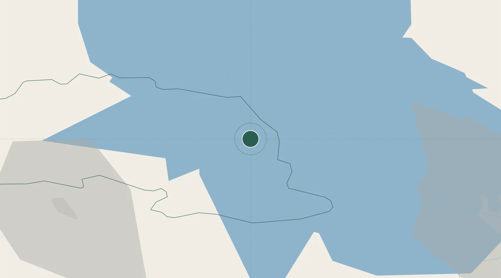
Nearby Logistics Neighbours

Cities
  1. 1Võõpsu2 km
  2. 2Räpina8 km
  3. 3Saarepera12 km
  4. 4Värska Sadam14 km
  5. 5Mehikoorma Sadam19 km
Nearest neighbours — logibook spatial index (haversine) over the source coordinates
Ports
  1. 1Sillamae152 km
  2. 2Kunda172 km
  3. 3Parnu183 km
  4. 4Ust Luga183 km
  5. 5Salacgriva193 km
Nearest neighbours — logibook spatial index (haversine) over the source coordinates
Airports
  1. 1Tartu Airport57 km
  2. 2Princess Olga Pskov International Airport59 km
  3. 3Smuravyovo Air Base88 km
  4. 4Ostrov Naval Air Base100 km
  5. 5Pärnu Airport184 km
Nearest neighbours — logibook spatial index (haversine) over the source coordinates
Trade Zones
  1. 1Moglino Special Economic Zone - Industrial48 km
  2. 2Port of Sillamäe151 km
  3. 3Latgale SEZ197 km
  4. 4Rēzekne SEZ197 km
  5. 5Muuga Free Zone201 km
Nearest neighbours — logibook spatial index (haversine) over the source coordinates
DatabookThe Record of Consolidated Knowledge
Estonia beyond logistics?
Browse databook

All Sources

LocationsUN/LOCODE
UN/LOCODE — free
Portsthe NGA World Port Index
Public domain (US gov)
AirportsOurAirports
Public domain
Trade Zonesthe World Bank SEZ database
CC BY 4.0
Trade ZonesOpen Zone Map
CC BY
← Estonia locations