UN/LOCODE hub · Estonia
EEVRI

Värati

58.3167°, 23.9833°
1
Transport functions

Transport Functions

Port
UN/LOCODE

Hub Profile

Region
68
GeoNames

Location

Location of EEVRI
Natural Earth 10m (public domain) · 68 · EEVRI · 58.32, 23.98GoogleOSMYandex

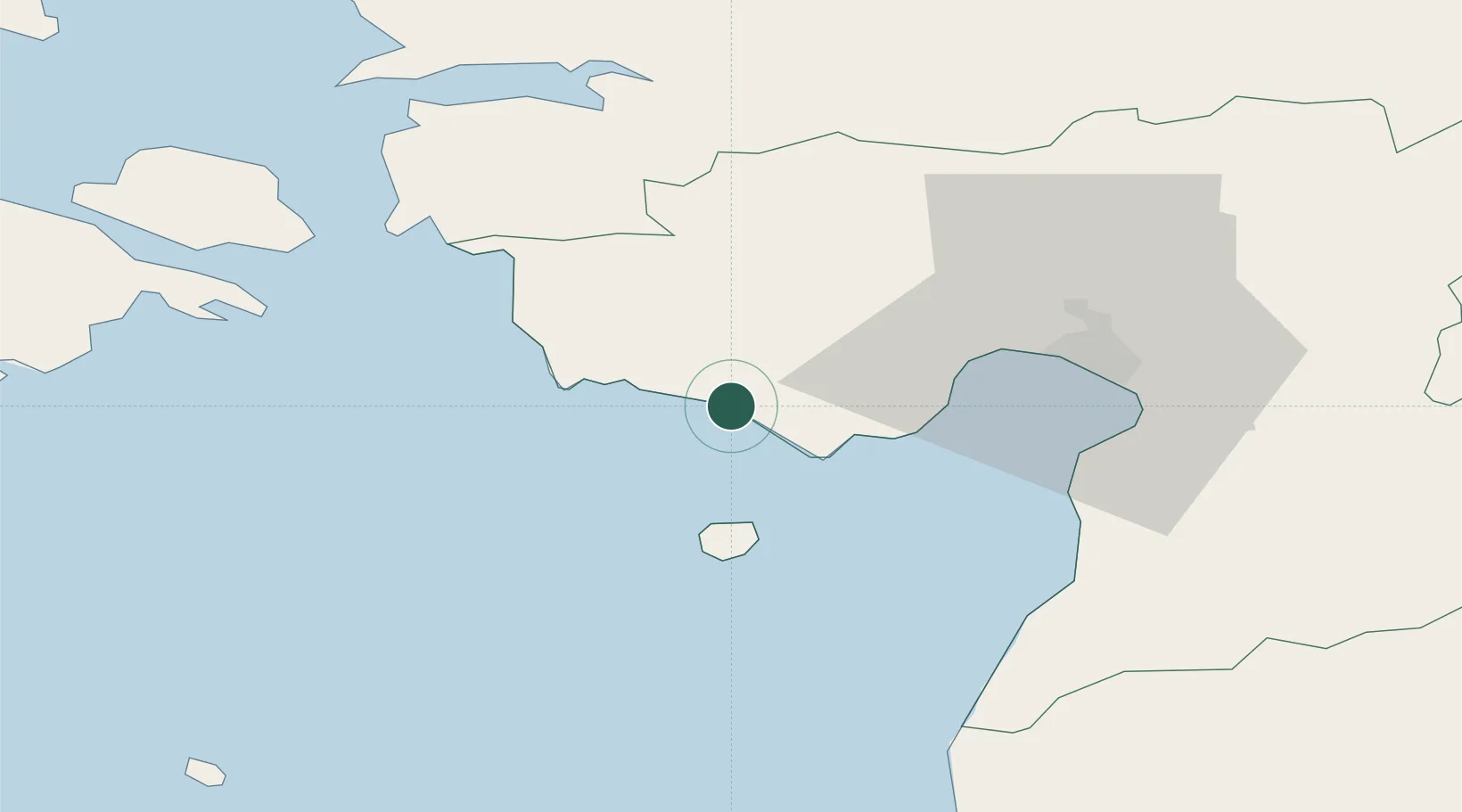
Nearby Logistics Neighbours

Cities
  1. 1Võidu2 km
  2. 2Merelaiu3 km
  3. 3Kastna4 km
  4. 4Peerni12 km
  5. 5Kavaru12 km
Nearest neighbours — logibook spatial index (haversine) over the source coordinates
Ports
  1. 1Parnu30 km
  2. 2Virtsu40 km
  3. 3Salacgriva72 km
  4. 4Rohukula73 km
  5. 5Heltermaa82 km
Nearest neighbours — logibook spatial index (haversine) over the source coordinates
Airports
  1. 1Pärnu Airport31 km
  2. 2Ruhnu Airfield73 km
  3. 3Kuressaare Airport87 km
  4. 4Kärdla Airport100 km
  5. 5Ämari Air Base106 km
Nearest neighbours — logibook spatial index (haversine) over the source coordinates
Trade Zones
  1. 1Paldiski Free Zone113 km
  2. 2Muuga Free Zone124 km
  3. 3Free Port of Riga151 km
  4. 4Free port of Ventspils178 km
  5. 5Freeport of Hanko180 km
Nearest neighbours — logibook spatial index (haversine) over the source coordinates
DatabookThe Record of Consolidated Knowledge
Estonia beyond logistics?
Browse databook

All Sources

LocationsUN/LOCODE
UN/LOCODE — free
Portsthe NGA World Port Index
Public domain (US gov)
AirportsOurAirports
Public domain
Trade Zonesthe World Bank SEZ database
CC BY 4.0
Trade ZonesOpen Zone Map
CC BY
← Estonia locations