Transport Functions
Port
Hub Profile
Place type
Populated place
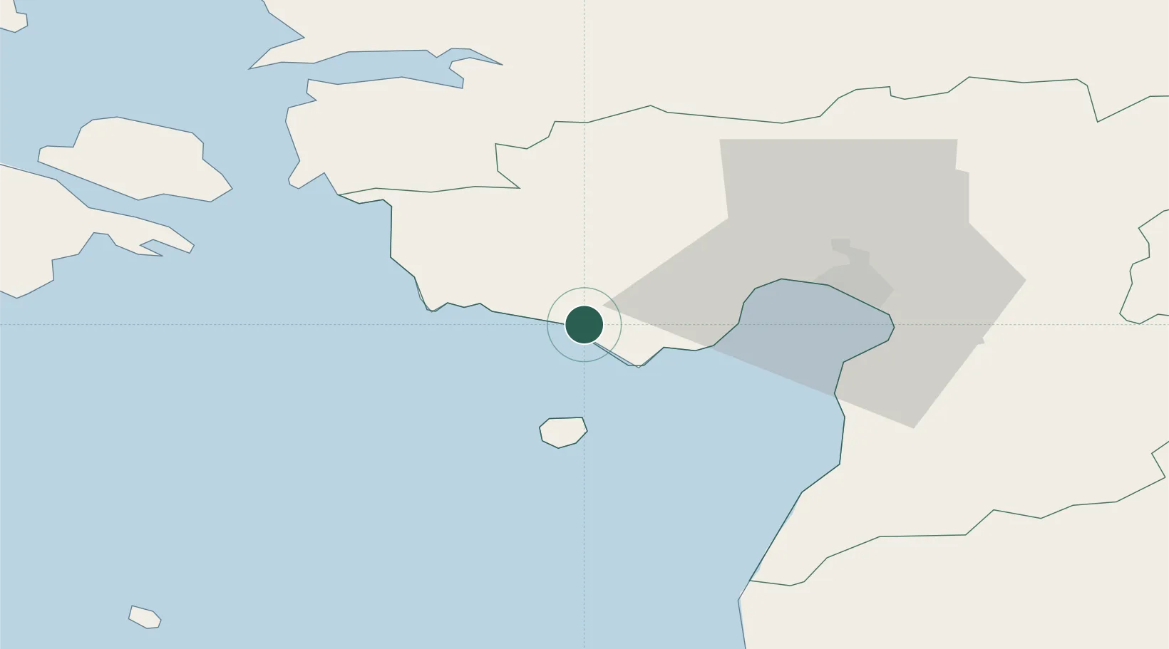
Region
Pärnumaa
Population
95
Time zone
Europe/Tallinn
Elevation
18 m
Location
Nearby Logistics Neighbours
Ports
- 1Parnu28 km
- 2Virtsu41 km
- 3Salacgriva72 km
- 4Rohukula74 km
- 5Heltermaa83 km
Airports
- 1Pärnu Airport29 km
- 2Ruhnu Airfield74 km
- 3Kuressaare Airport89 km
- 4Kärdla Airport102 km
- 5Ämari Air Base105 km
Trade Zones
- 1Paldiski Free Zone113 km
- 2Muuga Free Zone123 km
- 3Free Port of Riga151 km
- 4Free port of Ventspils179 km
- 5Freeport of Hanko180 km
DatabookThe Record of Consolidated Knowledge
Estonia beyond logistics?