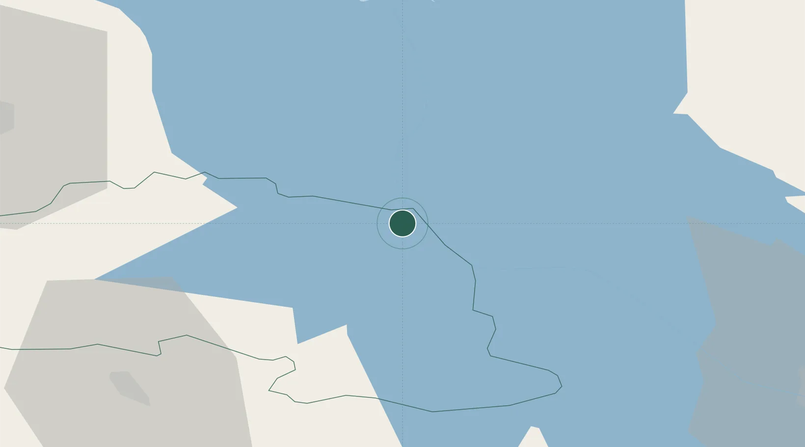
UN/LOCODE hub · Estonia
EESRA

Saarepera

58.1667°, 27.5000°
1
Transport functions

Transport Functions

Port
UN/LOCODE

Hub Profile

Region
64
GeoNames

Location

Location of EESRA
Natural Earth 10m (public domain) · 64 · EESRA · 58.17, 27.50GoogleOSMYandex

Nearby Logistics Neighbours

Cities
  1. 1Räpina4 km
  2. 2Mehikoorma Sadam8 km
  3. 3Võõpsu10 km
  4. 4Võõpsu Külasadam12 km
  5. 5Laaksaare19 km
Nearest neighbours — logibook spatial index (haversine) over the source coordinates
Ports
  1. 1Sillamae141 km
  2. 2Kunda161 km
  3. 3Ust Luga173 km
  4. 4Parnu178 km
  5. 5Loksa189 km
Nearest neighbours — logibook spatial index (haversine) over the source coordinates
Airports
  1. 1Tartu Airport50 km
  2. 2Princess Olga Pskov International Airport68 km
  3. 3Smuravyovo Air Base78 km
  4. 4Ostrov Naval Air Base111 km
  5. 5Pärnu Airport179 km
Nearest neighbours — logibook spatial index (haversine) over the source coordinates
Trade Zones
  1. 1Moglino Special Economic Zone - Industrial58 km
  2. 2Port of Sillamäe140 km
  3. 3Muuga Free Zone191 km
  4. 4Latgale SEZ208 km
  5. 5Rēzekne SEZ208 km
Nearest neighbours — logibook spatial index (haversine) over the source coordinates
DatabookThe Record of Consolidated Knowledge
Estonia beyond logistics?
Browse databook

All Sources

LocationsUN/LOCODE
UN/LOCODE — free
Portsthe NGA World Port Index
Public domain (US gov)
AirportsOurAirports
Public domain
Trade Zonesthe World Bank SEZ database
CC BY 4.0
Trade ZonesOpen Zone Map
CC BY
← Estonia locations