UN/LOCODE hub · Estonia
EEMEH

Mehikoorma Sadam

58.2333°, 27.4833°
1
Transport functions

Transport Functions

Port
UN/LOCODE

Hub Profile

Region
79
GeoNames

Location

Location of EEMEH
Natural Earth 10m (public domain) · 79 · EEMEH · 58.23, 27.48GoogleOSMYandex

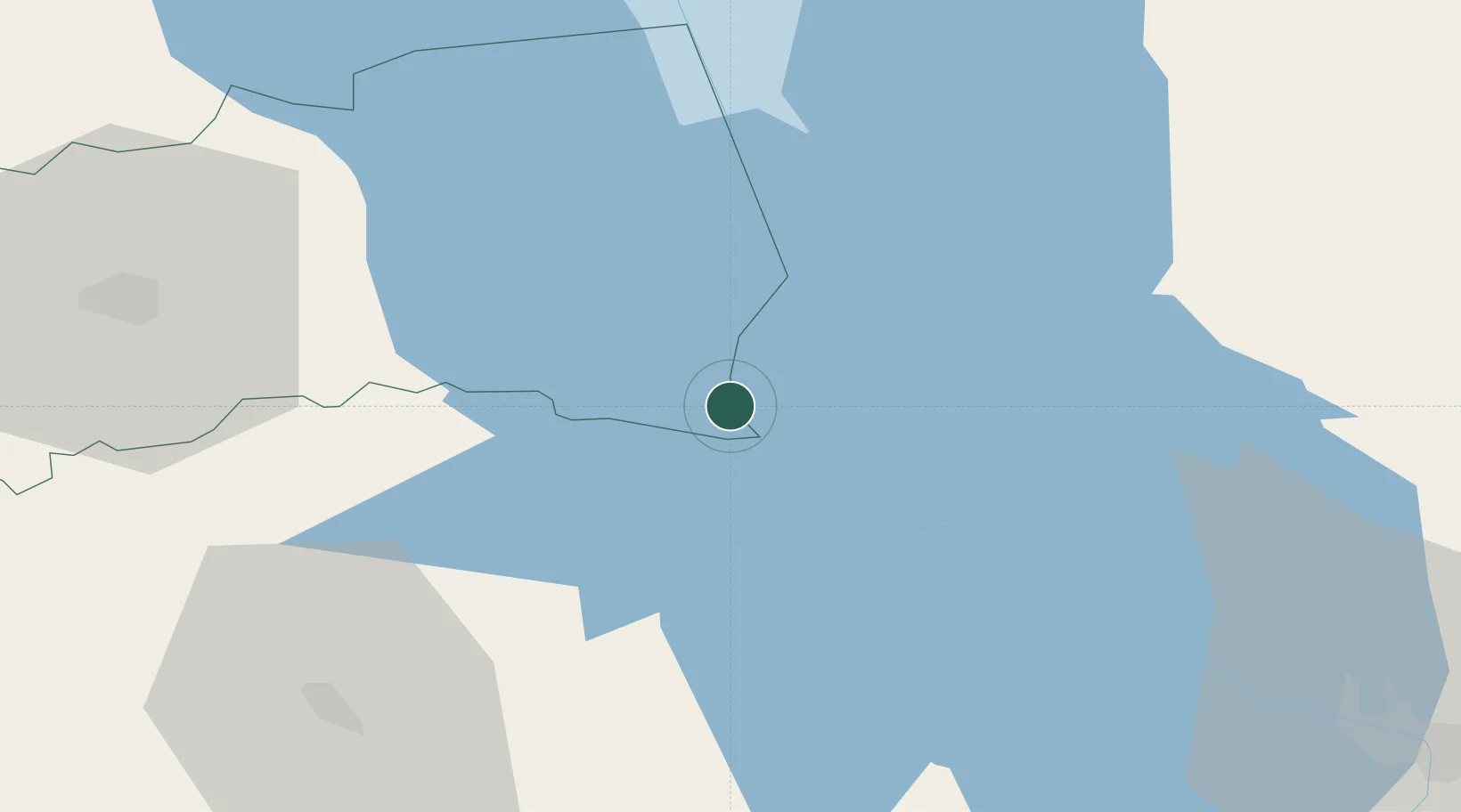
Nearby Logistics Neighbours

Cities
  1. 1Saarepera8 km
  2. 2Räpina12 km
  3. 3Laaksaare12 km
  4. 4Piirissaare Sadam17 km
  5. 5Võõpsu17 km
Nearest neighbours — logibook spatial index (haversine) over the source coordinates
Ports
  1. 1Sillamae133 km
  2. 2Kunda154 km
  3. 3Ust Luga166 km
  4. 4Parnu176 km
  5. 5Loksa182 km
Nearest neighbours — logibook spatial index (haversine) over the source coordinates
Airports
  1. 1Tartu Airport47 km
  2. 2Smuravyovo Air Base72 km
  3. 3Princess Olga Pskov International Airport74 km
  4. 4Ostrov Naval Air Base118 km
  5. 5Pärnu Airport177 km
Nearest neighbours — logibook spatial index (haversine) over the source coordinates
Trade Zones
  1. 1Moglino Special Economic Zone - Industrial65 km
  2. 2Port of Sillamäe133 km
  3. 3Muuga Free Zone185 km
  4. 4Latgale SEZ215 km
  5. 5Rēzekne SEZ215 km
Nearest neighbours — logibook spatial index (haversine) over the source coordinates
DatabookThe Record of Consolidated Knowledge
Estonia beyond logistics?
Browse databook

All Sources

LocationsUN/LOCODE
UN/LOCODE — free
Portsthe NGA World Port Index
Public domain (US gov)
AirportsOurAirports
Public domain
Trade Zonesthe World Bank SEZ database
CC BY 4.0
Trade ZonesOpen Zone Map
CC BY
← Estonia locations