Transport Functions
Rail
Road
Hub Profile
Place type
Provincial seat
Region
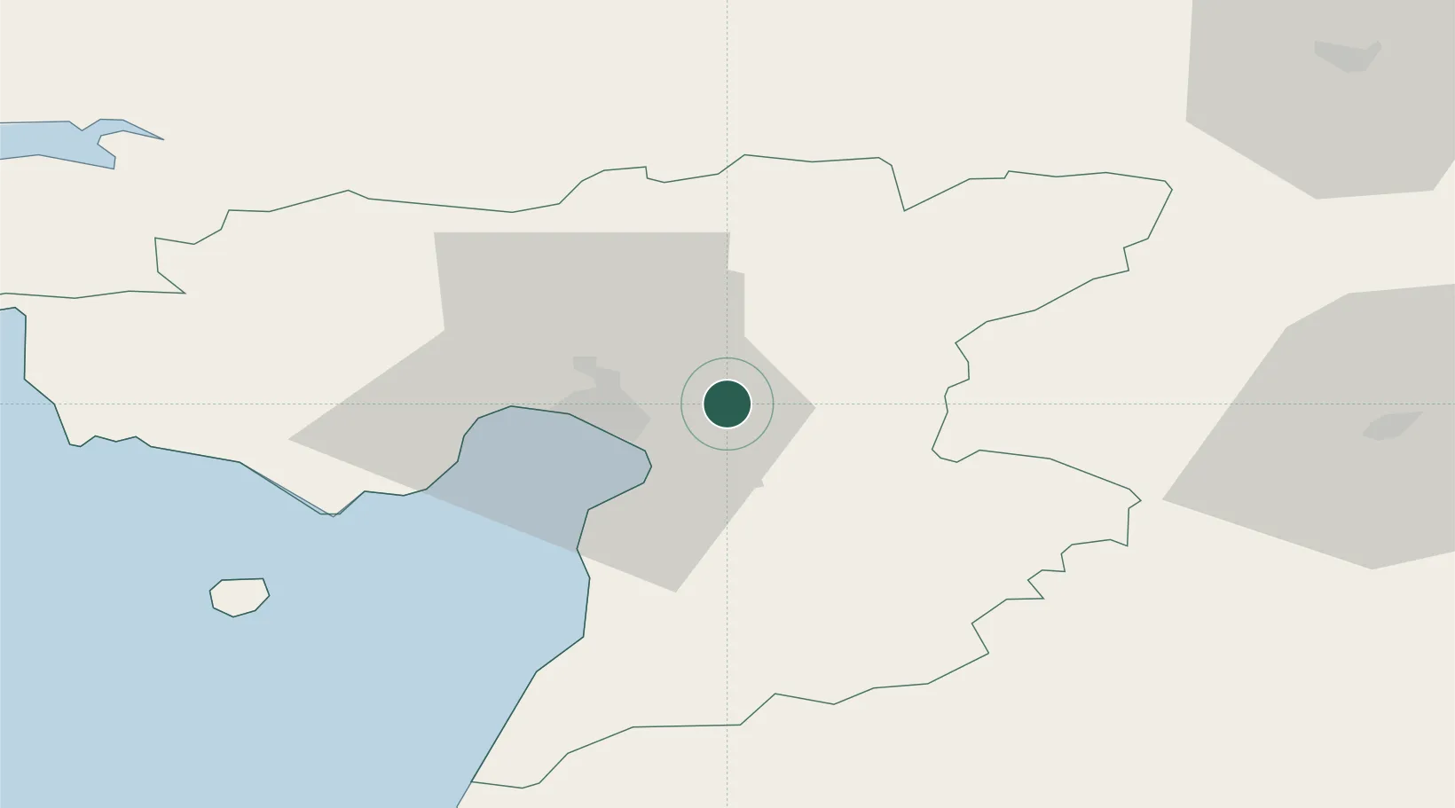
Pärnumaa
Population
3,906
Time zone
Europe/Tallinn
Elevation
14 m
Location
Nearby Logistics Neighbours
Cities
- 1Pärnu10 km
- 2Talvesadam10 km
- 3Japsi Kalasadam11 km
- 4Pärnu Sadama Väikesadam11 km
- 5Vana-Sauga Sadam11 km
Ports
- 1Parnu11 km
- 2Virtsu70 km
- 3Salacgriva80 km
- 4Rohukula91 km
- 5Heltermaa107 km
Airports
- 1Pärnu Airport12 km
- 2Ämari Air Base99 km
- 3Ruhnu Airfield107 km
- 4Lennart Meri Tallinn Airport113 km
- 5Tallinn Linnahall Heliport117 km
Trade Zones
- 1Muuga Free Zone102 km
- 2Paldiski Free Zone109 km
- 3Free Port of Riga164 km
- 4Freeport of Hanko189 km
- 5Port of Sillamäe209 km
DatabookThe Record of Consolidated Knowledge
Estonia beyond logistics?