UN/LOCODE hub · Estonia
EERHK

Rohuküla

58.9000°, 23.4333°
2
Transport functions

Transport Functions

Port
Border Crossing
Rohuküla is also a profiled seaport →
UN/LOCODE

Hub Profile

Region
56
GeoNames

Location

Location of EERHK
Natural Earth 10m (public domain) · 56 · EERHK · 58.90, 23.43GoogleOSMYandex

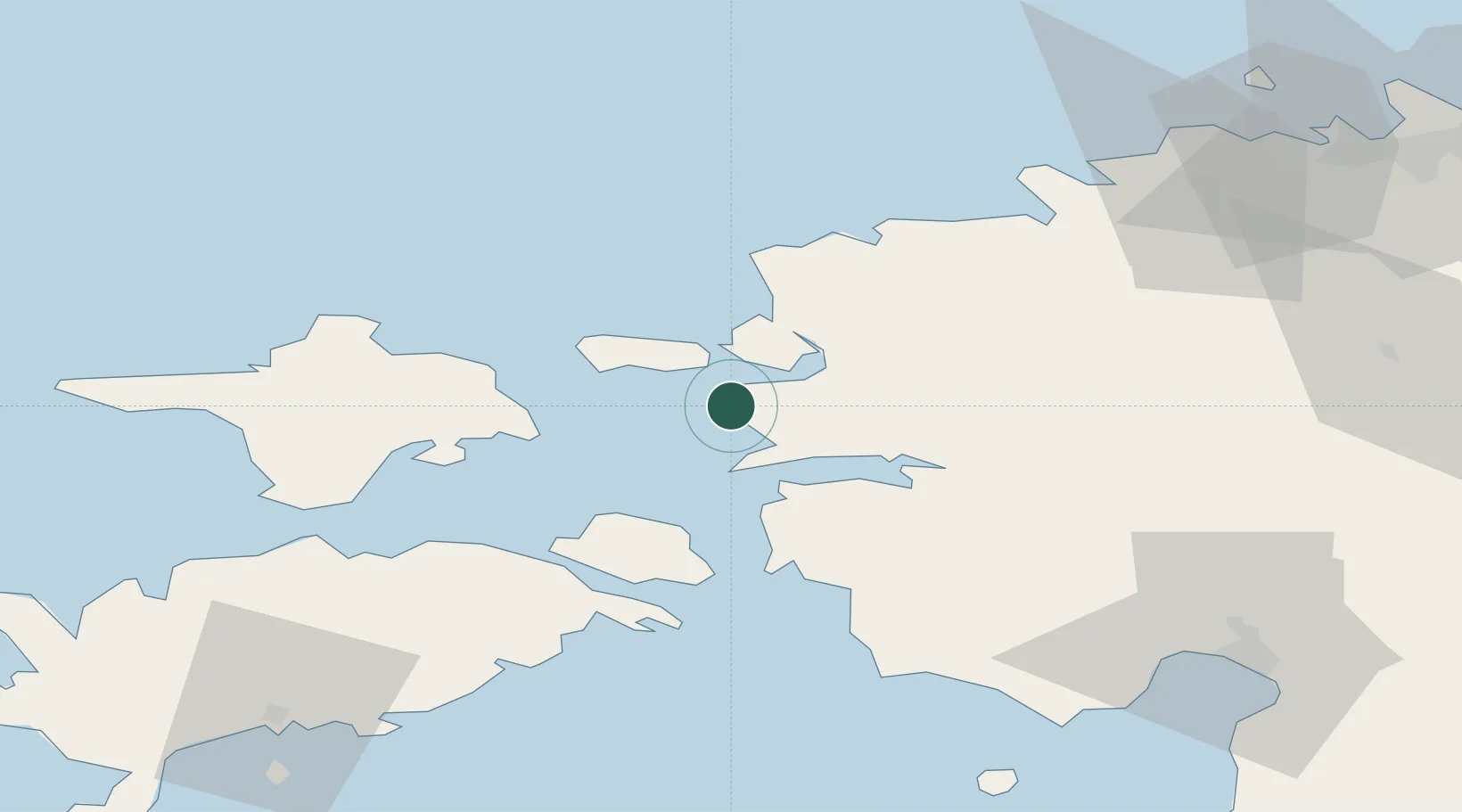
Nearby Logistics Neighbours

Cities
  1. 1Luige Väikesadam5 km
  2. 2Haapsalu7 km
  3. 3Westmeri9 km
  4. 4Haapsalu Veskiviigi9 km
  5. 5Suur-Holmi9 km
Nearest neighbours — logibook spatial index (haversine) over the source coordinates
Ports
  1. 1Heltermaa22 km
  2. 2Virtsu36 km
  3. 3Osmussaar45 km
  4. 4Paldiski Lounasadam61 km
  5. 5Paldiski Pohjasadam61 km
Nearest neighbours — logibook spatial index (haversine) over the source coordinates
Airports
  1. 1Kärdla Airport36 km
  2. 2Ämari Air Base60 km
  3. 3Pärnu Airport81 km
  4. 4Kuressaare Airport92 km
  5. 5Tallinn Linnahall Heliport97 km
Nearest neighbours — logibook spatial index (haversine) over the source coordinates
Trade Zones
  1. 1Paldiski Free Zone61 km
  2. 2Muuga Free Zone100 km
  3. 3Freeport of Hanko108 km
  4. 4Turku Free Zone185 km
  5. 5Free port of Ventspils201 km
Nearest neighbours — logibook spatial index (haversine) over the source coordinates
DatabookThe Record of Consolidated Knowledge
Estonia beyond logistics?
Browse databook

All Sources

LocationsUN/LOCODE
UN/LOCODE — free
Portsthe NGA World Port Index
Public domain (US gov)
AirportsOurAirports
Public domain
Trade Zonesthe World Bank SEZ database
CC BY 4.0
Trade ZonesOpen Zone Map
CC BY
← Estonia locations