Transport Functions
Port
Hub Profile
Region
56
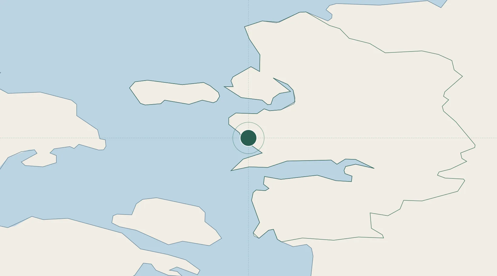
Location
Nearby Logistics Neighbours
Cities
- 1Rohuküla5 km
- 2Haapsalu8 km
- 3Westmeri11 km
- 4Haapsalu Veskiviigi12 km
- 5Suur-Holmi12 km
Ports
- 1Rohukula6 km
- 2Heltermaa25 km
- 3Virtsu33 km
- 4Osmussaar49 km
- 5Paldiski Lounasadam62 km
Airports
- 1Kärdla Airport40 km
- 2Ämari Air Base60 km
- 3Pärnu Airport76 km
- 4Kuressaare Airport91 km
- 5Tallinn Linnahall Heliport97 km
Trade Zones
- 1Paldiski Free Zone62 km
- 2Muuga Free Zone99 km
- 3Freeport of Hanko112 km
- 4Turku Free Zone189 km
- 5Free port of Ventspils200 km
DatabookThe Record of Consolidated Knowledge
Estonia beyond logistics?