Transport Functions
Port
Rail
Road
Hub Profile
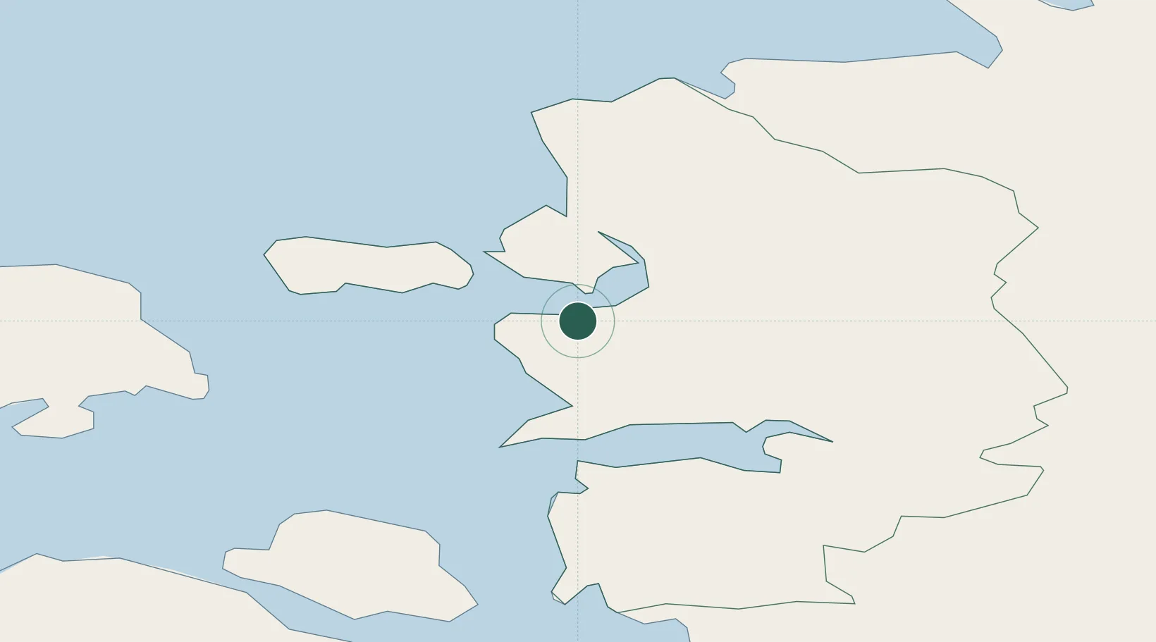
Place type
Regional capital
Region
Lääne
Population
11,805
Time zone
Europe/Tallinn
Elevation
6 m
Location
Nearby Logistics Neighbours
Cities
- 1Haapsalu Veskiviigi4 km
- 2Suur-Holmi4 km
- 3Westmeri Jahisadam4 km
- 4Westmeri4 km
- 5Österby6 km
Ports
- 1Rohukula7 km
- 2Heltermaa29 km
- 3Virtsu40 km
- 4Osmussaar42 km
- 5Paldiski Lounasadam54 km
Airports
- 1Kärdla Airport41 km
- 2Ämari Air Base53 km
- 3Pärnu Airport79 km
- 4Tallinn Linnahall Heliport90 km
- 5Lennart Meri Tallinn Airport91 km
Trade Zones
- 1Paldiski Free Zone54 km
- 2Muuga Free Zone94 km
- 3Freeport of Hanko106 km
- 4Turku Free Zone184 km
- 5Free port of Ventspils207 km
DatabookThe Record of Consolidated Knowledge
Estonia beyond logistics?