Transport Functions
Port
Hub Profile
Place type
Urban district
Region
Harjumaa
Time zone
Europe/Tallinn
Elevation
17 m
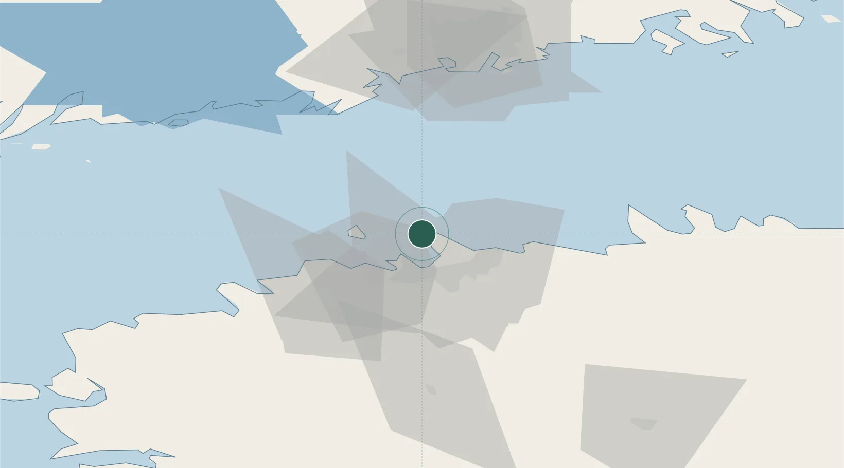
Location
Nearby Logistics Neighbours
Cities
- 1Nurme3 km
- 2Oti3 km
- 3Rohuneeme Väikesadam3 km
- 4Rohuneeme3 km
- 5Kelvingi5 km
Ports
- 1Miiduranna8 km
- 2Paljassaare12 km
- 3Lahesuu13 km
- 4Vanasadam - Port of Tallinn13 km
- 5Vene-Balti13 km
Airports
- 1Tallinn Linnahall Heliport13 km
- 2Lennart Meri Tallinn Airport18 km
- 3Ämari Air Base46 km
- 4Helsinki Vantaa Airport84 km
- 5Kärdla Airport126 km
Trade Zones
- 1Muuga Free Zone34 km
- 2Paldiski Free Zone46 km
- 3Freeport of Hanko109 km
- 4Port of Hamina-Kotka158 km
- 5Port of Sillamäe169 km
DatabookThe Record of Consolidated Knowledge
Estonia beyond logistics?