UN/LOCODE hub · Denmark
DKLHH

Lindholm Havn

55.2833°, 10.8000°
1
Transport functions

Transport Functions

Port
UN/LOCODE

Hub Profile

Region
83
GeoNames

Location

Location of DKLHH
Natural Earth 10m (public domain) · 83 · DKLHH · 55.28, 10.80GoogleOSMYandex

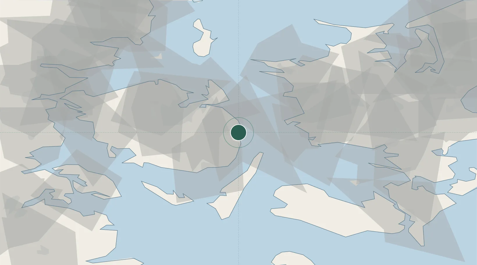
Nearby Logistics Neighbours

Cities
  1. 1Avernakke Havn2 km
  2. 2Nyborg Lystbådehavn2 km
  3. 3Ferritslev14 km
  4. 4Ryslinge16 km
  5. 5Lundeborg17 km
Nearest neighbours — logibook spatial index (haversine) over the source coordinates
Ports
  1. 1Nyborg4 km
  2. 2Kerteminde20 km
  3. 3Korsor22 km
  4. 4Svendborg27 km
  5. 5Stigsnaesvaerkets Havn30 km
Nearest neighbours — logibook spatial index (haversine) over the source coordinates
Airports
  1. 1Sydfyn (Tasinge) Airfield33 km
  2. 2Odense Hans Christian Andersen Airport37 km
  3. 3Ærø Airfield53 km
  4. 4Ringsted Airfield66 km
  5. 5Sønderborg Airport73 km
Nearest neighbours — logibook spatial index (haversine) over the source coordinates
Trade Zones
  1. 1Freeport of Kiel113 km
  2. 2Freeport of Copenhagen- Nordhavn123 km
  3. 3MTS Malmö Transport and Spedition149 km
  4. 4Freeport of Cuxhaven (Freihafen Cuxhaven)217 km
  5. 5Swinoujscie Duty Free Zone272 km
Nearest neighbours — logibook spatial index (haversine) over the source coordinates
DatabookThe Record of Consolidated Knowledge
Denmark beyond logistics?
Browse databook

All Sources

LocationsUN/LOCODE
UN/LOCODE — free
Portsthe NGA World Port Index
Public domain (US gov)
AirportsOurAirports
Public domain
Trade Zonesthe World Bank SEZ database
CC BY 4.0
Trade ZonesOpen Zone Map
CC BY
← Denmark locations