Transport Functions
Port
Hub Profile
Place type
Populated place
Region
South Denmark
Population
1,768
Time zone
Europe/Copenhagen
Elevation
77 m
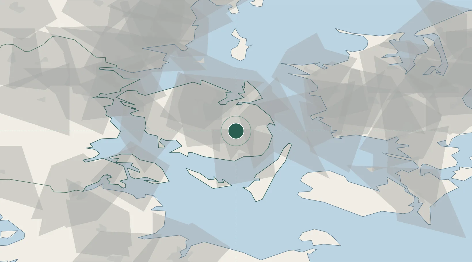
Location
Nearby Logistics Neighbours
Cities
- 1Ferritslev6 km
- 2Årslev7 km
- 3Birkum10 km
- 4Højby11 km
- 5Avernakke Havn16 km
Ports
- 1Nyborg18 km
- 2Svendborg21 km
- 3Odense21 km
- 4Kerteminde23 km
- 5Faborg25 km
Airports
- 1Sydfyn (Tasinge) Airfield26 km
- 2Odense Hans Christian Andersen Airport29 km
- 3Ærø Airfield45 km
- 4Sønderborg Airport58 km
- 5Kolding Vamdrup Airfield80 km
Trade Zones
DatabookThe Record of Consolidated Knowledge
Denmark beyond logistics?