Transport Functions
Port
Road
Hub Profile
Place type
Populated place
Region
South Denmark
Time zone
Europe/Copenhagen
Elevation
8 m
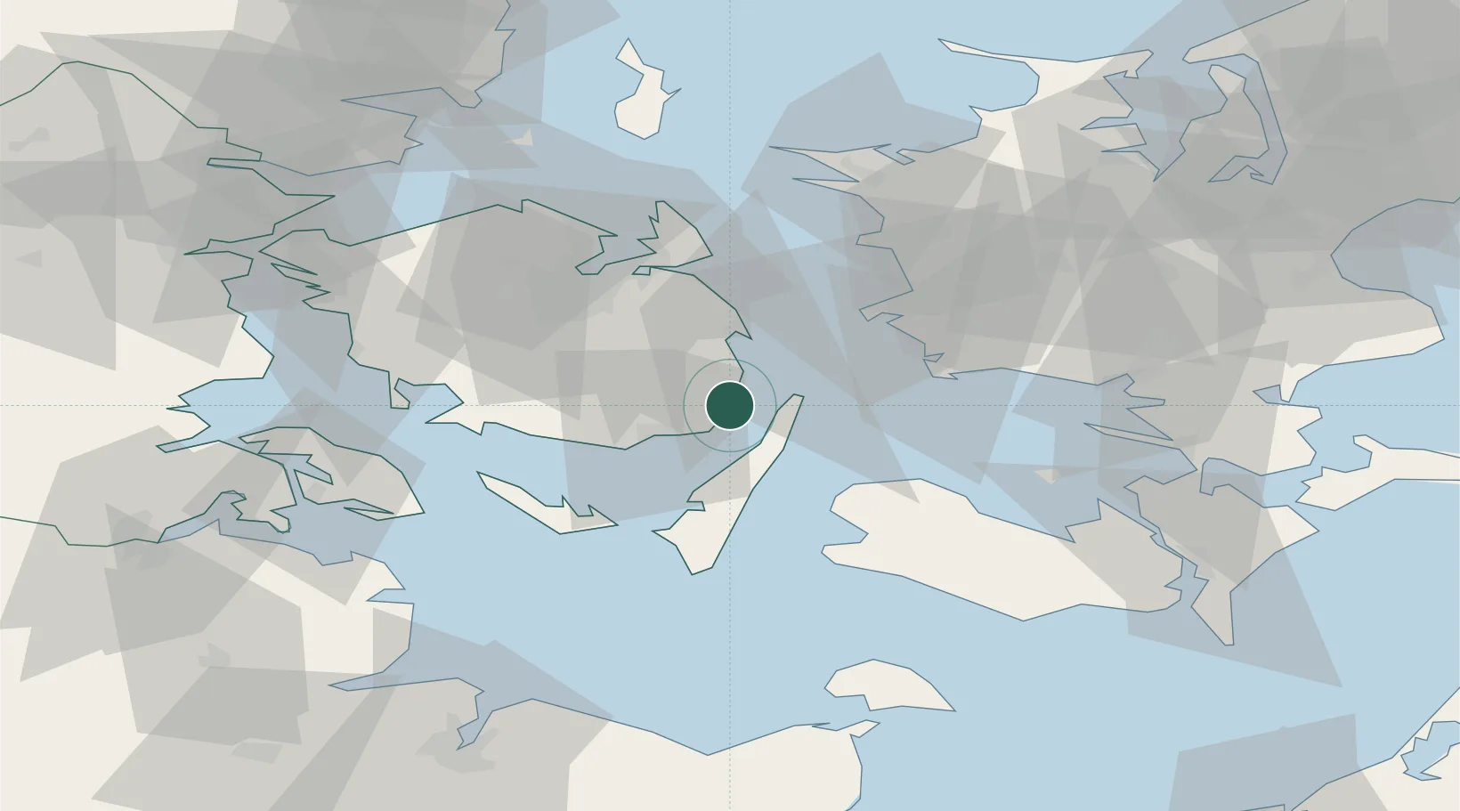
Location
Nearby Logistics Neighbours
Cities
- 1Oure4 km
- 2Troense14 km
- 3Lindholm Havn17 km
- 4Avernakke Havn19 km
- 5Nyborg Lystbådehavn19 km
Ports
- 1Svendborg13 km
- 2Nyborg20 km
- 3Rudkobing21 km
- 4Stigsnaesvaerkets Havn31 km
- 5Korsor31 km
Airports
Trade Zones
DatabookThe Record of Consolidated Knowledge
Denmark beyond logistics?