UN/LOCODE hub · Denmark
DKSOL

Solrød Strand

55.5333°, 12.2333°
2
Transport functions

Transport Functions

Road
Multimodal
UN/LOCODE

Hub Profile

Region
85
GeoNames

Location

Location of DKSOL
Natural Earth 10m (public domain) · 85 · DKSOL · 55.53, 12.23GoogleOSMYandex

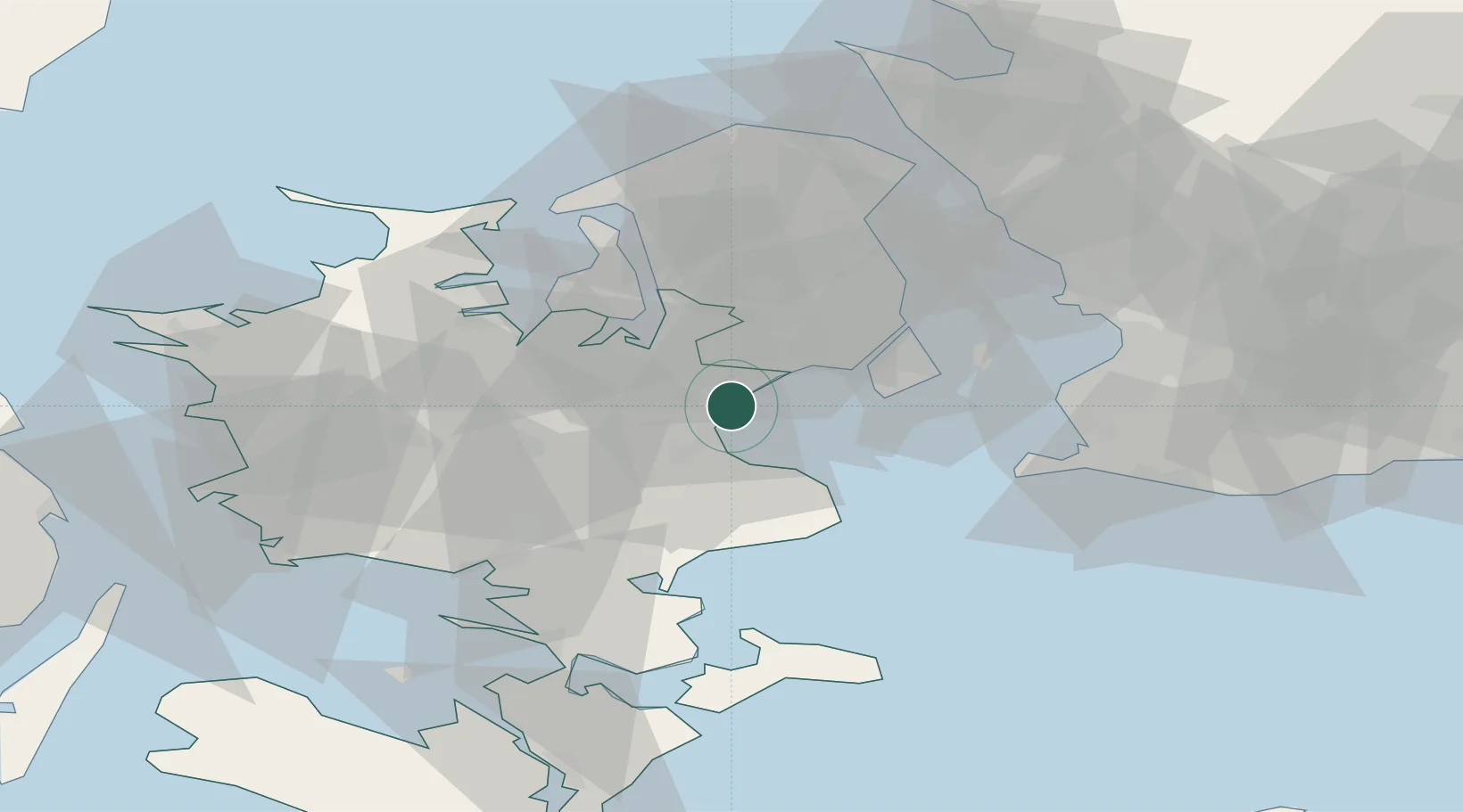
Nearby Logistics Neighbours

Cities
  1. 1Karlslunde4 km
  2. 2Tune8 km
  3. 3Havdrup8 km
  4. 4Vallensbæk13 km
  5. 5Høje Tåstrup13 km
Nearest neighbours — logibook spatial index (haversine) over the source coordinates
Ports
  1. 1Koge10 km
  2. 2Tuborg30 km
  3. 3Kobenhavn30 km
  4. 4Frederikssund35 km
  5. 5Fakse Ladeplads Havn36 km
Nearest neighbours — logibook spatial index (haversine) over the source coordinates
Airports
  1. 1Copenhagen Roskilde Airport9 km
  2. 2Copenhagen Kastrup Airport28 km
  3. 3København Vandflyveplads29 km
  4. 4Ringsted Airfield29 km
  5. 5Malmö Sturup Airport72 km
Nearest neighbours — logibook spatial index (haversine) over the source coordinates
Trade Zones
  1. 1Freeport of Copenhagen- Nordhavn31 km
  2. 2MTS Malmö Transport and Spedition55 km
  3. 3Freeport of Kiel187 km
  4. 4Swinoujscie Duty Free Zone224 km
  5. 5Gothenburg Boundless Customs Warehouse243 km
Nearest neighbours — logibook spatial index (haversine) over the source coordinates
DatabookThe Record of Consolidated Knowledge
Denmark beyond logistics?
Browse databook

All Sources

LocationsUN/LOCODE
UN/LOCODE — free
Portsthe NGA World Port Index
Public domain (US gov)
AirportsOurAirports
Public domain
Trade Zonesthe World Bank SEZ database
CC BY 4.0
Trade ZonesOpen Zone Map
CC BY
← Denmark locations