Transport Functions
Port
Road
Hub Profile
Place type
Populated place
Region
Zealand
Time zone
Europe/Copenhagen
Elevation
17 m
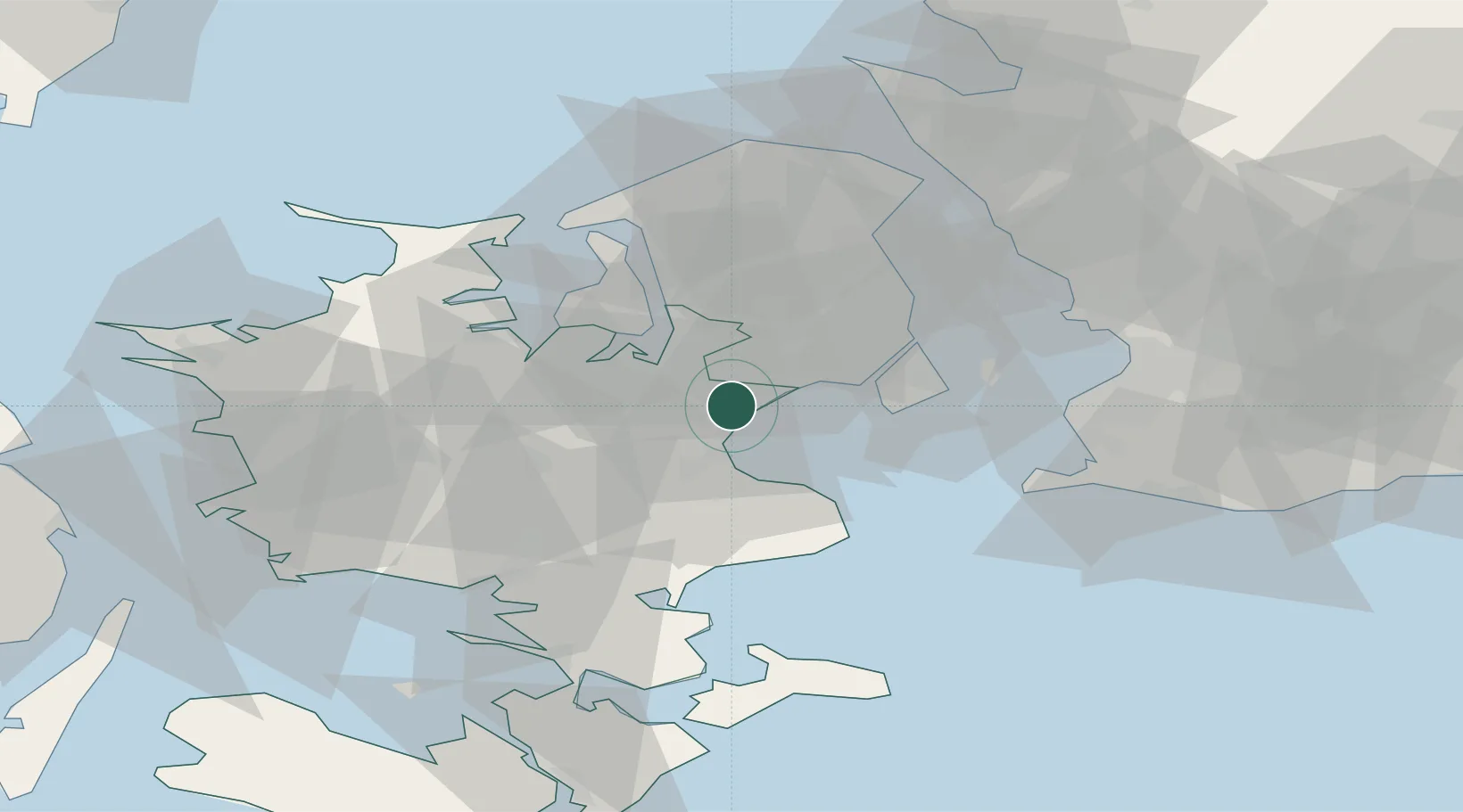
Location
Nearby Logistics Neighbours
Cities
- 1Solrød Strand4 km
- 2Tune4 km
- 3Havdrup8 km
- 4Høje Tåstrup10 km
- 5Vallensbæk11 km
Ports
- 1Koge13 km
- 2Tuborg28 km
- 3Kobenhavn29 km
- 4Frederikssund31 km
- 5Kyndbyvaerkets35 km
Airports
- 1Copenhagen Roskilde Airport6 km
- 2København Vandflyveplads28 km
- 3Copenhagen Kastrup Airport28 km
- 4Ringsted Airfield30 km
- 5Malmö Sturup Airport73 km
Trade Zones
DatabookThe Record of Consolidated Knowledge
Denmark beyond logistics?