Transport Functions
Rail
Hub Profile
Place type
Populated place
Region
Zealand
Population
4,365
Time zone
Europe/Copenhagen
Elevation
23 m
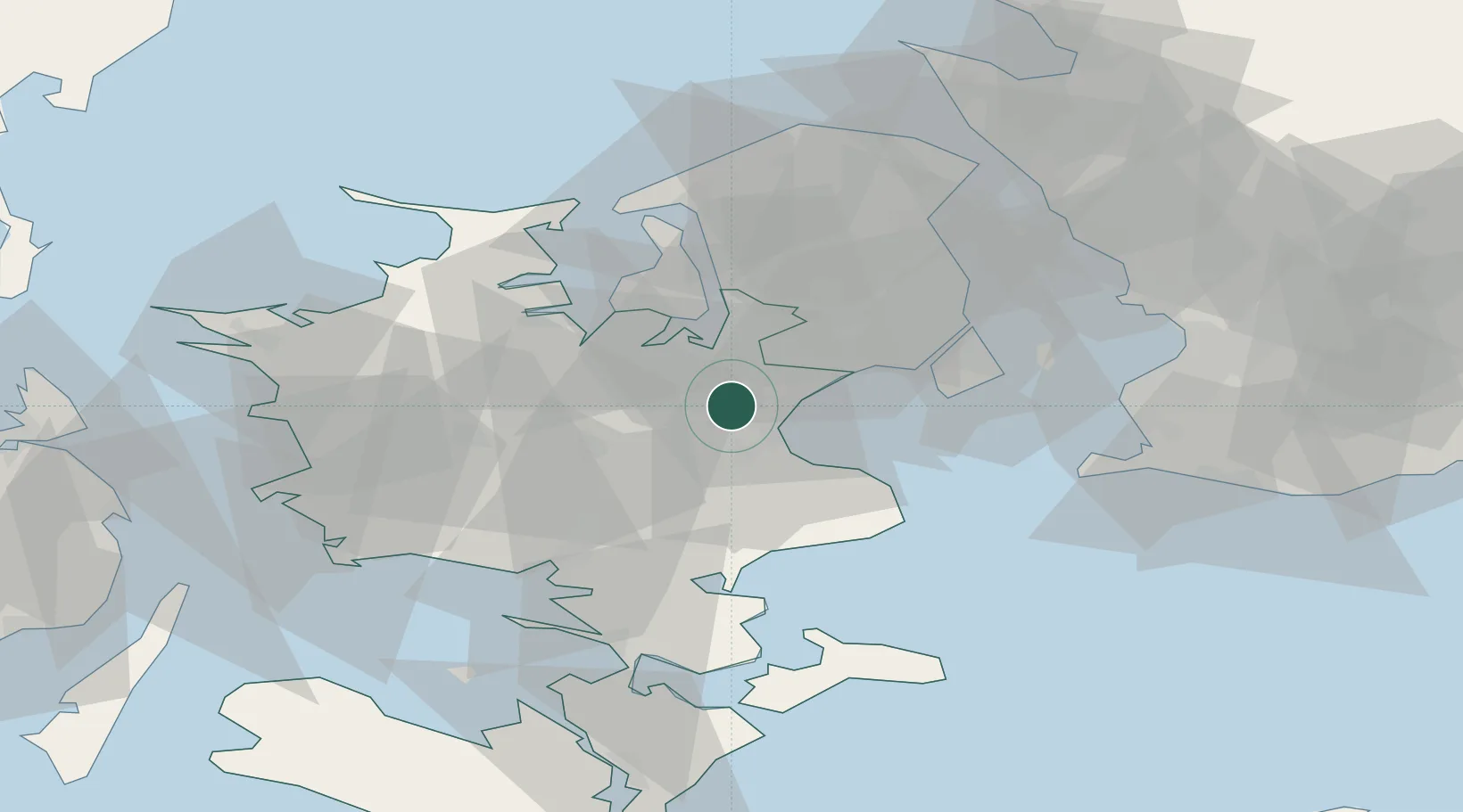
Location
Nearby Logistics Neighbours
Cities
- 1Karlslunde8 km
- 2Solrød Strand8 km
- 3Tune9 km
- 4Bjaeverskov10 km
- 5Høje Tåstrup17 km
Ports
- 1Koge11 km
- 2Holbaek32 km
- 3Frederikssund34 km
- 4Kyndbyvaerkets34 km
- 5Fakse Ladeplads Havn36 km
Airports
- 1Copenhagen Roskilde Airport6 km
- 2Ringsted Airfield22 km
- 3København Vandflyveplads36 km
- 4Copenhagen Kastrup Airport36 km
- 5Malmö Sturup Airport80 km
Trade Zones
DatabookThe Record of Consolidated Knowledge
Denmark beyond logistics?