Transport Functions
Port
Road
Hub Profile
Region
85
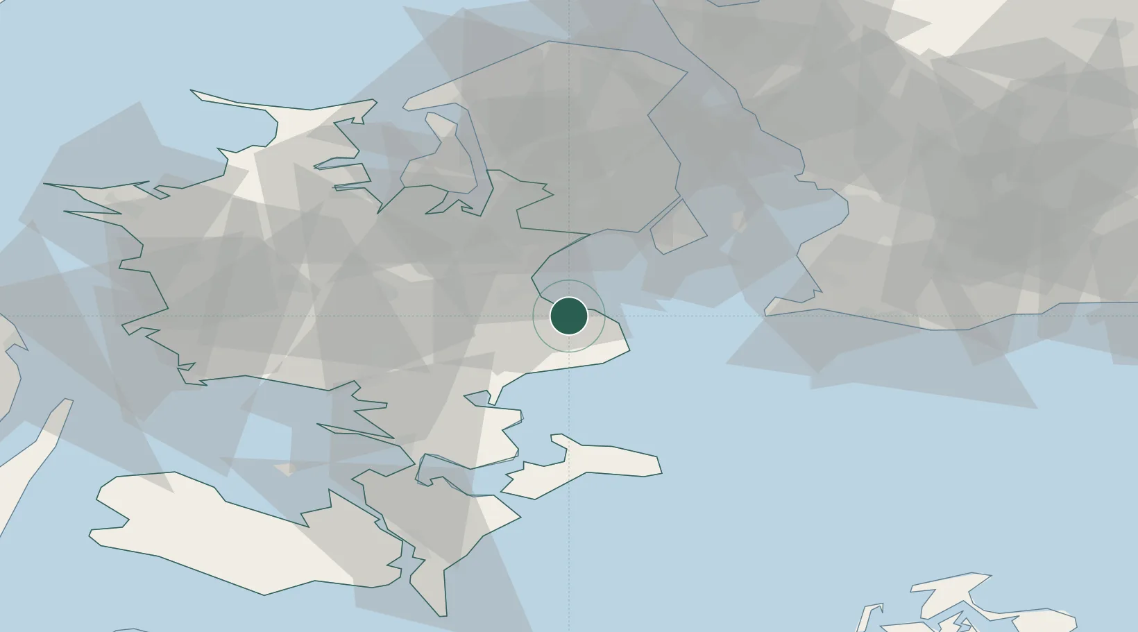
Location
Nearby Logistics Neighbours
Cities
- 1Hårlev7 km
- 2Store Heddinge11 km
- 3Stevns Pier12 km
- 4Rødvig Havn15 km
- 5Solrød Strand17 km
Ports
- 1Koge10 km
- 2Fakse Ladeplads Havn20 km
- 3Naestved39 km
- 4Kobenhavn41 km
- 5Tuborg41 km
Airports
- 1Copenhagen Roskilde Airport25 km
- 2Ringsted Airfield32 km
- 3Copenhagen Kastrup Airport34 km
- 4København Vandflyveplads39 km
- 5Malmö Sturup Airport70 km
Trade Zones
DatabookThe Record of Consolidated Knowledge
Denmark beyond logistics?