UN/LOCODE hub · Denmark
DKRDH

Rødvig Havn

55.2500°, 12.3667°
1
Transport functions

Transport Functions

Port
UN/LOCODE

Hub Profile

Region
85
GeoNames

Location

Location of DKRDH
Natural Earth 10m (public domain) · 85 · DKRDH · 55.25, 12.37GoogleOSMYandex

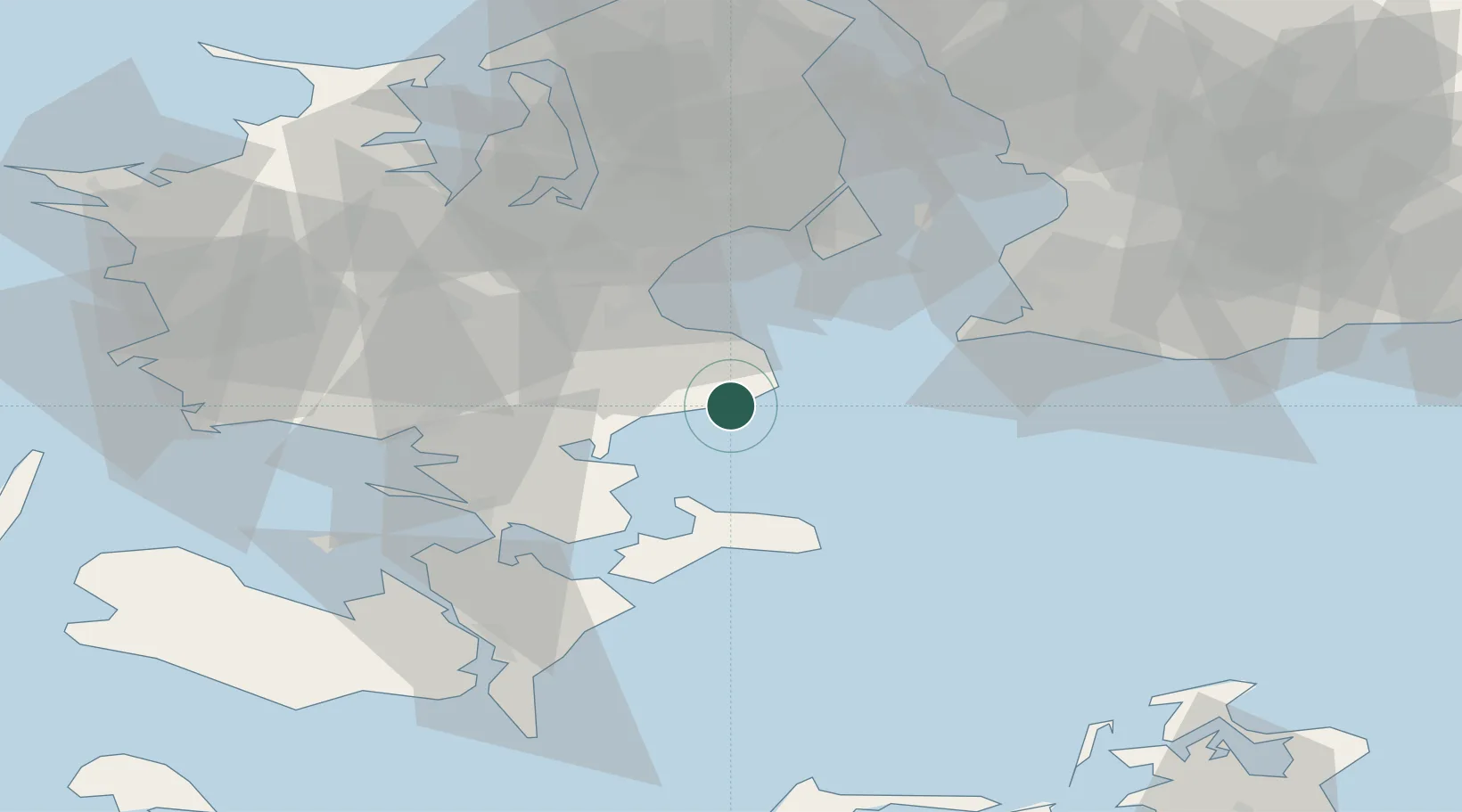
Nearby Logistics Neighbours

Cities
  1. 1Store Heddinge8 km
  2. 2Stevns Pier9 km
  3. 3Olovi12 km
  4. 4Hårlev13 km
  5. 5Fakse15 km
Nearest neighbours — logibook spatial index (haversine) over the source coordinates
Ports
  1. 1Fakse Ladeplads Havn13 km
  2. 2Koge25 km
  3. 3Stege30 km
  4. 4Naestved39 km
  5. 5Vordingborg41 km
Nearest neighbours — logibook spatial index (haversine) over the source coordinates
Airports
  1. 1Copenhagen Roskilde Airport40 km
  2. 2Ringsted Airfield40 km
  3. 3Copenhagen Kastrup Airport45 km
  4. 4København Vandflyveplads51 km
  5. 5Malmö Sturup Airport71 km
Nearest neighbours — logibook spatial index (haversine) over the source coordinates
Trade Zones
  1. 1Freeport of Copenhagen- Nordhavn54 km
  2. 2MTS Malmö Transport and Spedition61 km
  3. 3Freeport of Kiel174 km
  4. 4Swinoujscie Duty Free Zone194 km
  5. 5Szczecin Duty Free Zone249 km
Nearest neighbours — logibook spatial index (haversine) over the source coordinates
DatabookThe Record of Consolidated Knowledge
Denmark beyond logistics?
Browse databook

All Sources

LocationsUN/LOCODE
UN/LOCODE — free
Portsthe NGA World Port Index
Public domain (US gov)
AirportsOurAirports
Public domain
Trade Zonesthe World Bank SEZ database
CC BY 4.0
Trade ZonesOpen Zone Map
CC BY
← Denmark locations