Transport Functions
Port
Road
Hub Profile
Place type
Provincial seat
Region
Zealand
Population
3,668
Time zone
Europe/Copenhagen
Elevation
30 m
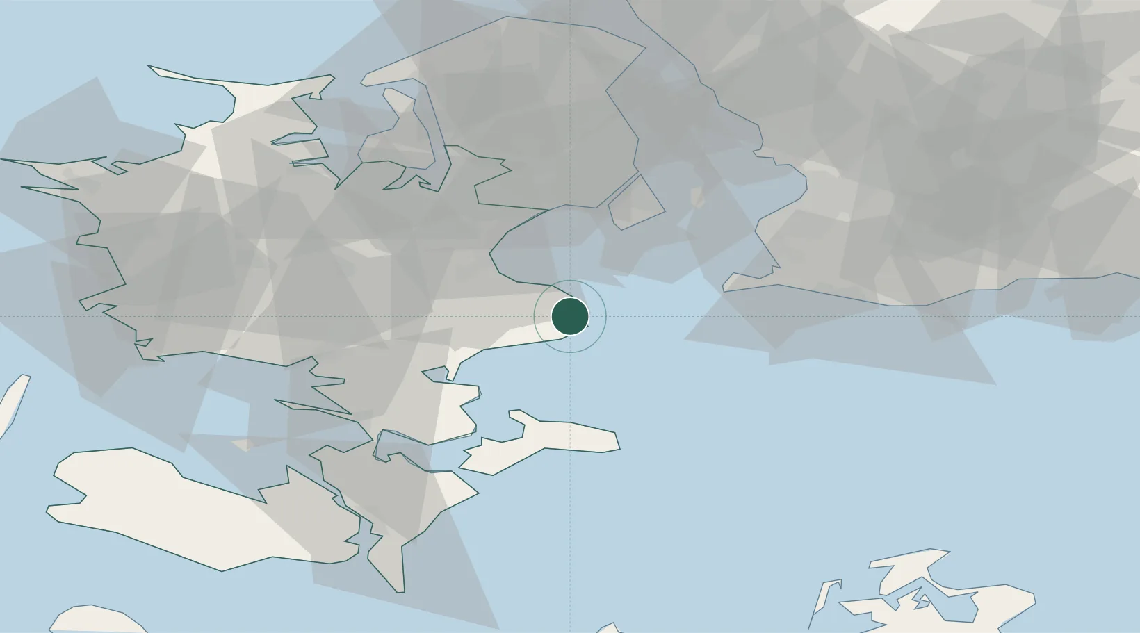
Location
Nearby Logistics Neighbours
Cities
- 1Stevns Pier2 km
- 2Rødvig Havn8 km
- 3Strøby11 km
- 4Olovi11 km
- 5Hårlev12 km
Ports
- 1Fakse Ladeplads Havn19 km
- 2Koge20 km
- 3Stege38 km
- 4Naestved43 km
- 5Limhamn44 km
Airports
- 1Copenhagen Roskilde Airport35 km
- 2Copenhagen Kastrup Airport37 km
- 3Ringsted Airfield40 km
- 4København Vandflyveplads43 km
- 5Malmö Sturup Airport65 km
Trade Zones
- 1Freeport of Copenhagen- Nordhavn46 km
- 2MTS Malmö Transport and Spedition54 km
- 3Freeport of Kiel181 km
- 4Swinoujscie Duty Free Zone198 km
- 5Szczecin Duty Free Zone253 km
DatabookThe Record of Consolidated Knowledge
Denmark beyond logistics?