Transport Functions
Rail
Road
Hub Profile
Place type
Populated place
Region
Zealand
Population
2,865
Time zone
Europe/Copenhagen
Elevation
13 m
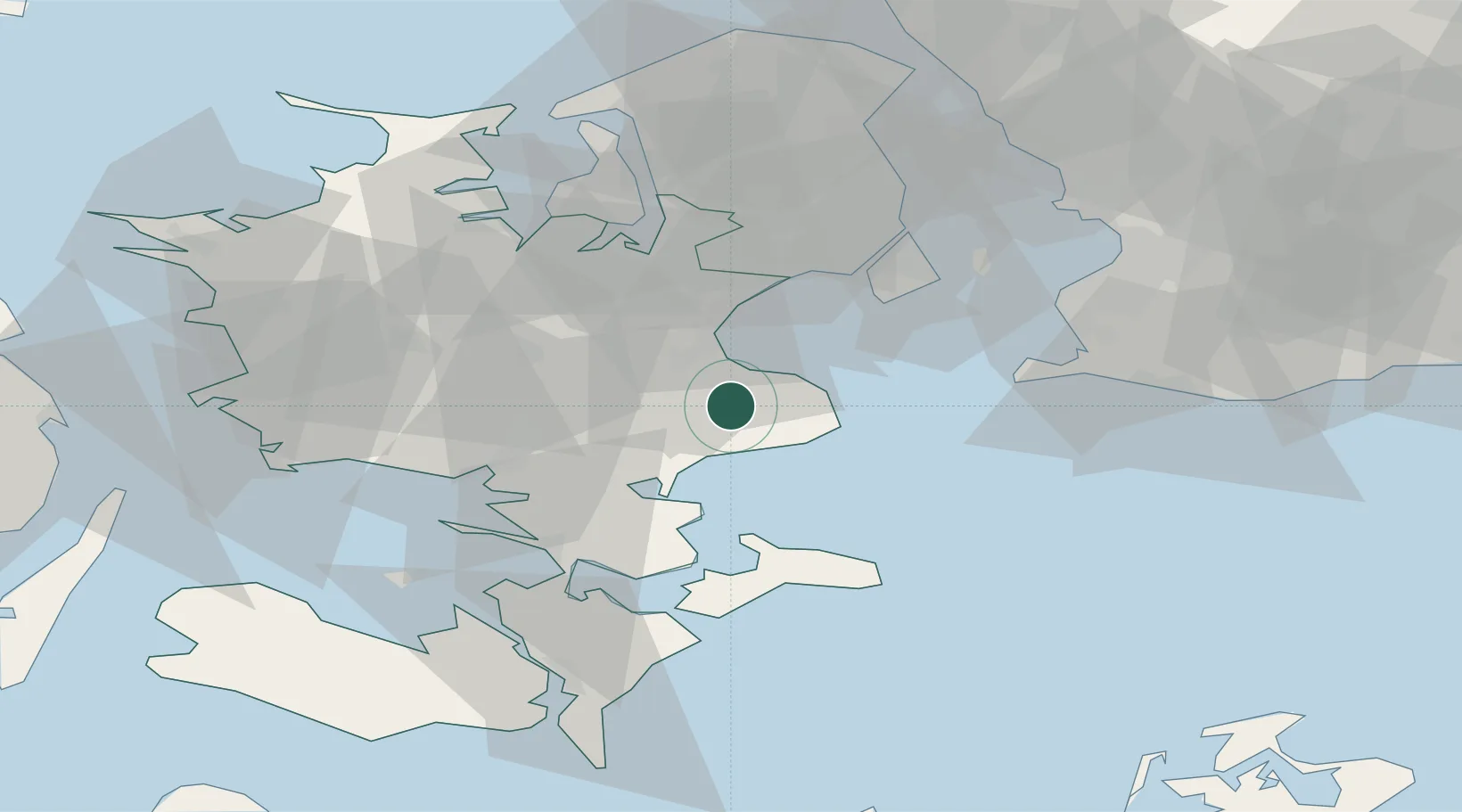
Location
Nearby Logistics Neighbours
Cities
- 1Strøby7 km
- 2Fakse11 km
- 3Store Heddinge12 km
- 4Rødvig Havn13 km
- 5Stevns Pier14 km
Ports
- 1Koge13 km
- 2Fakse Ladeplads Havn14 km
- 3Naestved33 km
- 4Stege39 km
- 5Vordingborg43 km
Airports
- 1Copenhagen Roskilde Airport29 km
- 2Ringsted Airfield29 km
- 3Copenhagen Kastrup Airport41 km
- 4København Vandflyveplads46 km
- 5Malmö Sturup Airport76 km
Trade Zones
- 1Freeport of Copenhagen- Nordhavn48 km
- 2MTS Malmö Transport and Spedition62 km
- 3Freeport of Kiel172 km
- 4Swinoujscie Duty Free Zone207 km
- 5Szczecin Duty Free Zone261 km
DatabookThe Record of Consolidated Knowledge
Denmark beyond logistics?