Transport Functions
Port
Hub Profile
Region
85
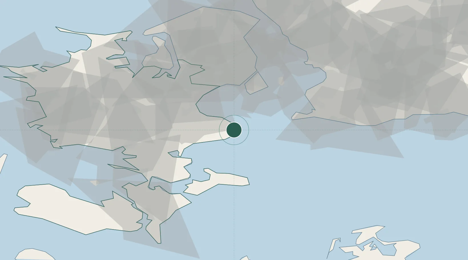
Location
Nearby Logistics Neighbours
Cities
- 1Store Heddinge2 km
- 2Rødvig Havn9 km
- 3Olovi10 km
- 4Strøby12 km
- 5Hårlev14 km
Ports
- 1Fakse Ladeplads Havn21 km
- 2Koge22 km
- 3Stege39 km
- 4Limhamn43 km
- 5Kobenhavn44 km
Airports
- 1Copenhagen Kastrup Airport36 km
- 2Copenhagen Roskilde Airport36 km
- 3Ringsted Airfield42 km
- 4København Vandflyveplads43 km
- 5Malmö Sturup Airport63 km
Trade Zones
- 1Freeport of Copenhagen- Nordhavn45 km
- 2MTS Malmö Transport and Spedition52 km
- 3Freeport of Kiel182 km
- 4Swinoujscie Duty Free Zone197 km
- 5Szczecin Duty Free Zone252 km
DatabookThe Record of Consolidated Knowledge
Denmark beyond logistics?