Transport Functions
Rail
Road
Hub Profile
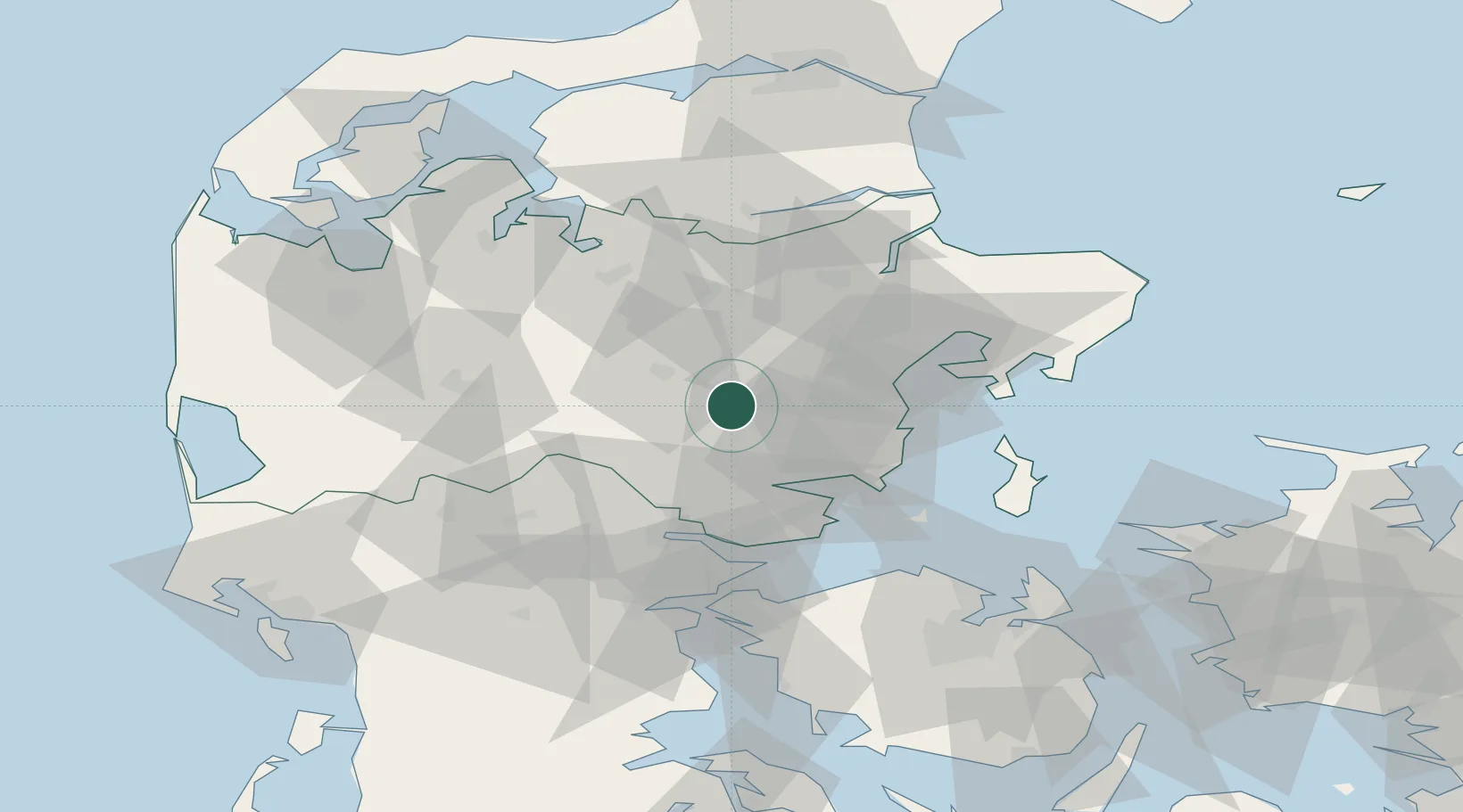
Place type
Populated place
Region
Central Jutland
Population
7,151
Time zone
Europe/Copenhagen
Elevation
38 m
Location
Nearby Logistics Neighbours
Cities
- 1Skanderborg8 km
- 2Stilling16 km
- 3Hovedgård20 km
- 4Tranbjerg25 km
- 5Viby25 km
Airports
- 1Aarhus Seaplane Terminal32 km
- 2Midtjyllands Airport / Air Base Karup47 km
- 3Billund Airport53 km
- 4Aarhus Airport59 km
- 5Skive Airport63 km
Trade Zones
DatabookThe Record of Consolidated Knowledge
Denmark beyond logistics?