UN/LOCODE hub · Denmark
DKHVL

Hvalsø

55.6000°, 11.8500°
2
Transport functions

Transport Functions

Road
Multimodal
UN/LOCODE

Hub Profile

Region
85
GeoNames

Location

Location of DKHVL
Natural Earth 10m (public domain) · 85 · DKHVL · 55.60, 11.85GoogleOSMYandex

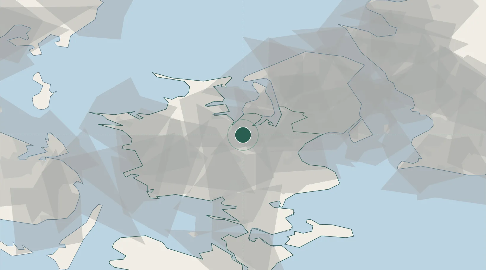
Nearby Logistics Neighbours

Cities
  1. 1Tølløse5 km
  2. 2Store Merløse10 km
  3. 3Nyrup12 km
  4. 4Kirke Hyllinge12 km
  5. 5Havdrup17 km
Nearest neighbours — logibook spatial index (haversine) over the source coordinates
Ports
  1. 1Holbaek15 km
  2. 2Kyndbyvaerkets24 km
  3. 3Koge28 km
  4. 4Frederikssund29 km
  5. 5Hundested Havn41 km
Nearest neighbours — logibook spatial index (haversine) over the source coordinates
Airports
  1. 1Copenhagen Roskilde Airport18 km
  2. 2Ringsted Airfield20 km
  3. 3København Vandflyveplads48 km
  4. 4Copenhagen Kastrup Airport51 km
  5. 5Malmö Sturup Airport96 km
Nearest neighbours — logibook spatial index (haversine) over the source coordinates
Trade Zones
  1. 1Freeport of Copenhagen- Nordhavn49 km
  2. 2MTS Malmö Transport and Spedition78 km
  3. 3Freeport of Kiel177 km
  4. 4Gothenburg Boundless Customs Warehouse234 km
  5. 5Swinoujscie Duty Free Zone245 km
Nearest neighbours — logibook spatial index (haversine) over the source coordinates
DatabookThe Record of Consolidated Knowledge
Denmark beyond logistics?
Browse databook

All Sources

LocationsUN/LOCODE
UN/LOCODE — free
Portsthe NGA World Port Index
Public domain (US gov)
AirportsOurAirports
Public domain
Trade Zonesthe World Bank SEZ database
CC BY 4.0
Trade ZonesOpen Zone Map
CC BY
← Denmark locations