Transport Functions
Road
Multimodal
Hub Profile
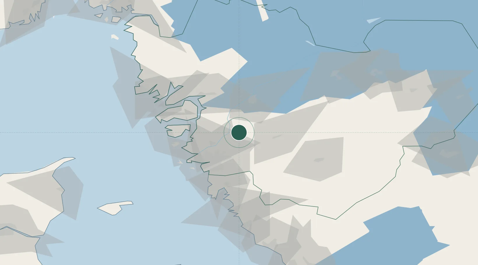
Place type
Populated place
Region
Västra Götaland
Population
1,821
Time zone
Europe/Stockholm
Elevation
7 m
Location
Nearby Logistics Neighbours
Cities
- 1Älvängen6 km
- 2Lödöse7 km
- 3Nol (ports)11 km
- 4Göta15 km
- 5Klintholm Havn16 km
Ports
- 1Stenungsund26 km
- 2Goteborg34 km
- 3Marstrand38 km
- 4Uddevalla43 km
- 5Lysekil55 km
Airports
- 1Säve Airport30 km
- 2Göteborg Landvetter Airport36 km
- 3Trollhättan-Vänersborg Airport38 km
- 4Såtenäs Air Base58 km
- 5Råda Air Base76 km
Trade Zones
DatabookThe Record of Consolidated Knowledge
Sweden beyond logistics?