Transport Functions
Port
Rail
Road
Hub Profile
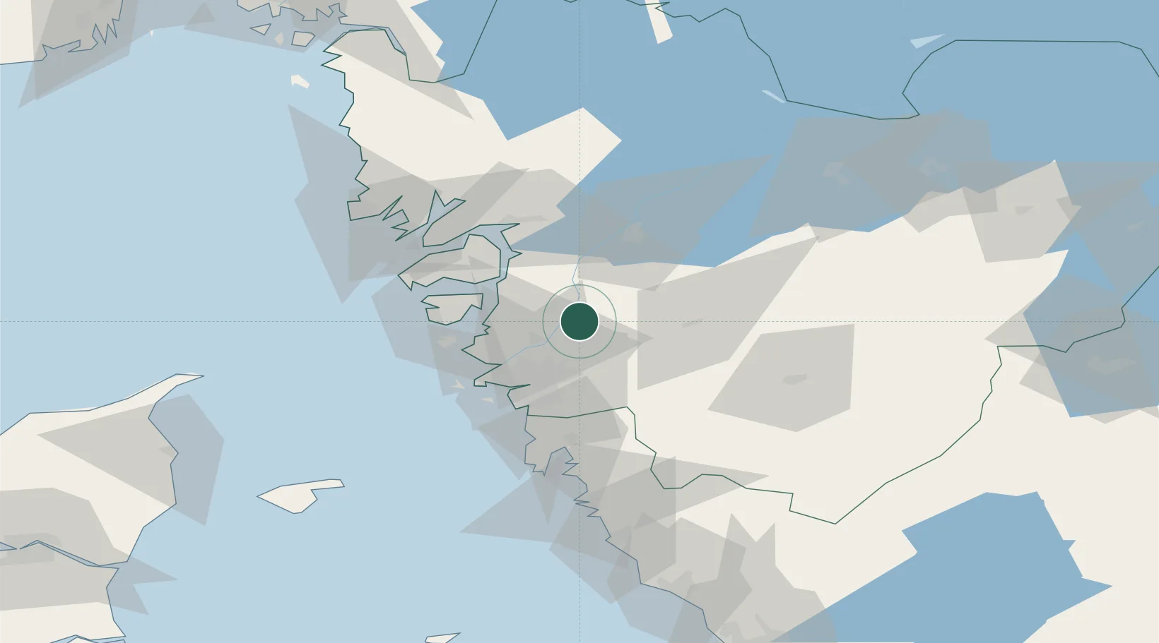
Place type
Populated place
Region
Västra Götaland
Time zone
Europe/Stockholm
Elevation
15 m
Location
Nearby Logistics Neighbours
Cities
- 1Nol (ports)5 km
- 2Skepplanda6 km
- 3Lödöse9 km
- 4Bohus13 km
- 5Surte16 km
Ports
- 1Stenungsund24 km
- 2Goteborg28 km
- 3Marstrand32 km
- 4Uddevalla45 km
- 5Lysekil53 km
Airports
- 1Säve Airport24 km
- 2Göteborg Landvetter Airport33 km
- 3Trollhättan-Vänersborg Airport43 km
- 4Såtenäs Air Base64 km
- 5Råda Air Base82 km
Trade Zones
DatabookThe Record of Consolidated Knowledge
Sweden beyond logistics?