UN/LOCODE hub · Sweden
SELDO

Lödöse

58.0333°, 12.1333°
3
Transport functions

Transport Functions

Port
Rail
Road
UN/LOCODE

Hub Profile

Region
O
GeoNames

Location

Location of SELDO
Natural Earth 10m (public domain) · O · SELDO · 58.03, 12.13GoogleOSMYandex

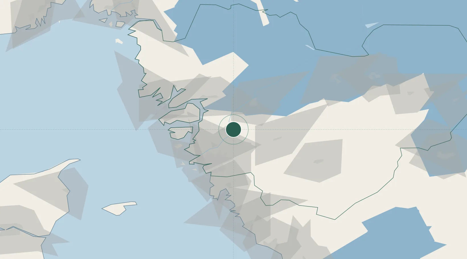
Nearby Logistics Neighbours

Cities
  1. 1Skepplanda7 km
  2. 2Göta9 km
  3. 3Älvängen9 km
  4. 4Lilla Edet11 km
  5. 5Nol (ports)14 km
Nearest neighbours — logibook spatial index (haversine) over the source coordinates
Ports
  1. 1Stenungsund20 km
  2. 2Marstrand36 km
  3. 3Uddevalla37 km
  4. 4Goteborg38 km
  5. 5Lysekil48 km
Nearest neighbours — logibook spatial index (haversine) over the source coordinates
Airports
  1. 1Säve Airport33 km
  2. 2Trollhättan-Vänersborg Airport34 km
  3. 3Göteborg Landvetter Airport42 km
  4. 4Såtenäs Air Base55 km
  5. 5Råda Air Base75 km
Nearest neighbours — logibook spatial index (haversine) over the source coordinates
Trade Zones
  1. 1Gothenburg Boundless Customs Warehouse41 km
  2. 2Jönköping Free Zone120 km
  3. 3Freeport of Copenhagen- Nordhavn259 km
  4. 4MTS Malmö Transport and Spedition276 km
  5. 5Stockholm Free Zone375 km
Nearest neighbours — logibook spatial index (haversine) over the source coordinates
DatabookThe Record of Consolidated Knowledge
Sweden beyond logistics?
Browse databook

All Sources

LocationsUN/LOCODE
UN/LOCODE — free
Portsthe NGA World Port Index
Public domain (US gov)
AirportsOurAirports
Public domain
Trade Zonesthe World Bank SEZ database
CC BY 4.0
Trade ZonesOpen Zone Map
CC BY
← Sweden locations