Transport Functions
Port
Road
Hub Profile
Place type
Provincial seat
Region
South Denmark
Population
4,059
Time zone
Europe/Copenhagen
Elevation
10 m
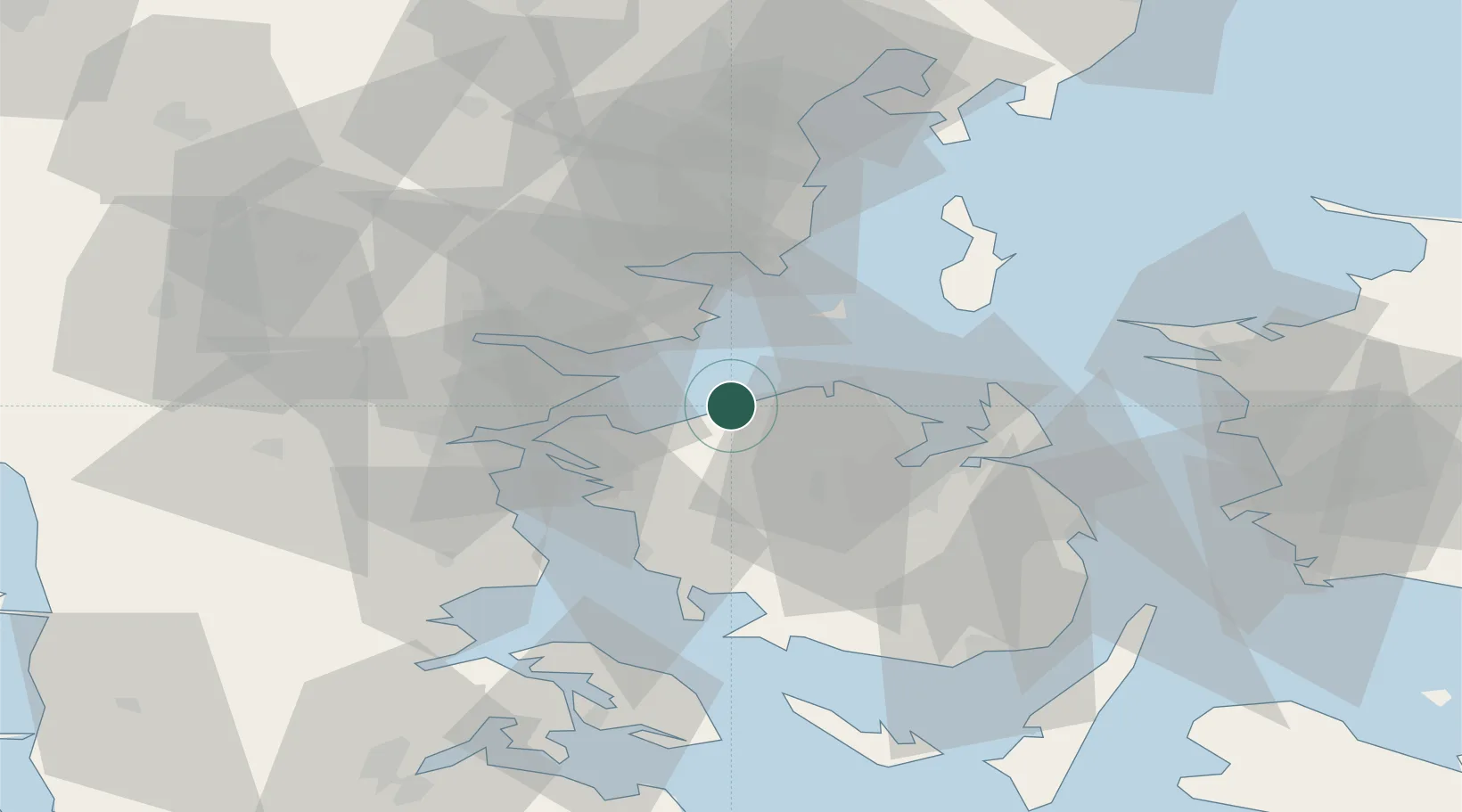
Location
Nearby Logistics Neighbours
Cities
- 1Juelsminde15 km
- 2Barrit20 km
- 3Fredericia23 km
- 4Klintebjerg25 km
- 5Brejning28 km
Ports
- 1Fredericia20 km
- 2Middelfart23 km
- 3Odense25 km
- 4Skaerbaek30 km
- 5Assens36 km
Airports
- 1Odense Hans Christian Andersen Airport18 km
- 2Kolding Vamdrup Airfield50 km
- 3Billund Airport61 km
- 4Skrydstrup Air Base64 km
- 5Aarhus Seaplane Terminal66 km
Trade Zones
DatabookThe Record of Consolidated Knowledge
Denmark beyond logistics?